Bay of Kotor
AnkernKeine GenehmigungKeine Muringbojen
Auch gut zum Schnorcheln
- Grund
- Halt
- Tiefe
- 10–30 m
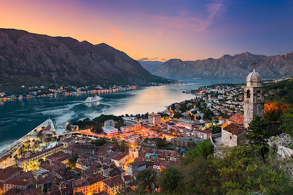
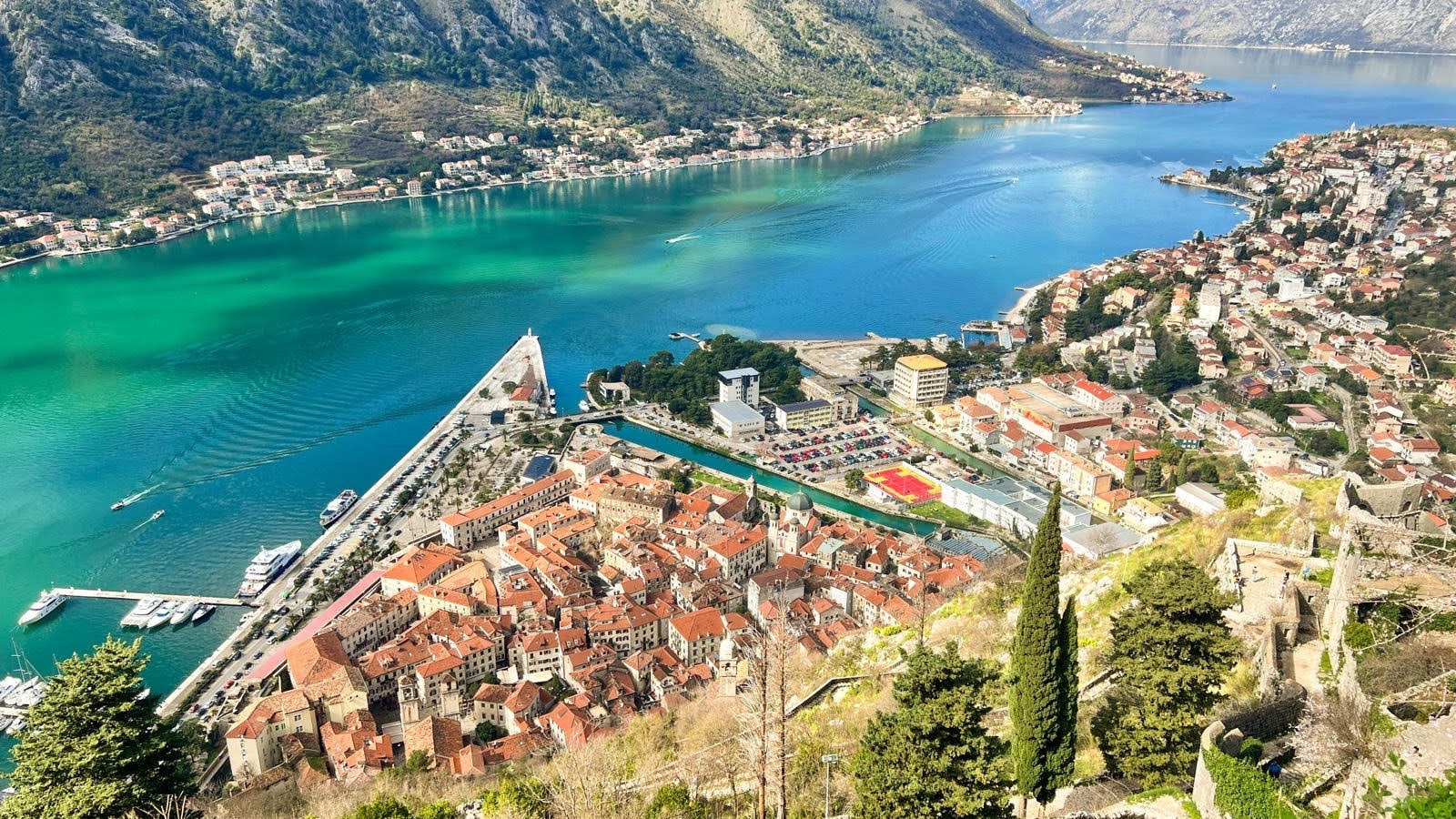
Often called Europe's southernmost fjord, though it is actually a drowned river canyon to 1,700m limestone walls rising straight from the water, a walled medieval city at its head, and two islets off Perast, one a natural rock with a monastery, one entirely man-made from stones dropped by sailors over centuries. Our Lady of the Rocks was built up by seamen who, for 450 years, dropped a stone into the water on every safe return, the fašinada ceremony still happens each July. Kotor's Venetian walls climb 260m up the mountain behind it. UNESCO World Heritage since 1979. Anchorage: A near-landlocked double bay with total shelter, one of the safest harbours in the Mediterranean. Hazards: No site-specific hazards noted, brief normally.