Ilulissat Icefjord
SonnenuntergängeKeine GenehmigungMuringbojen
Auch gut zum Ankern
- Aussicht
- Beste Zeit
- Sunset and After dark
- Ankerplatz
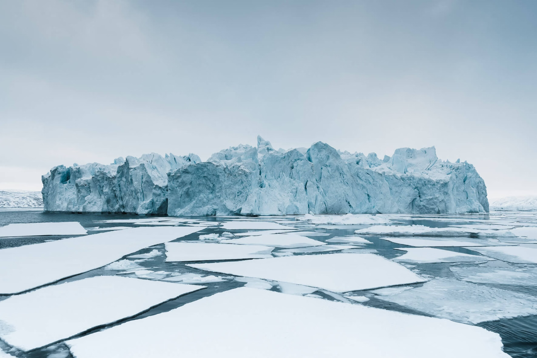
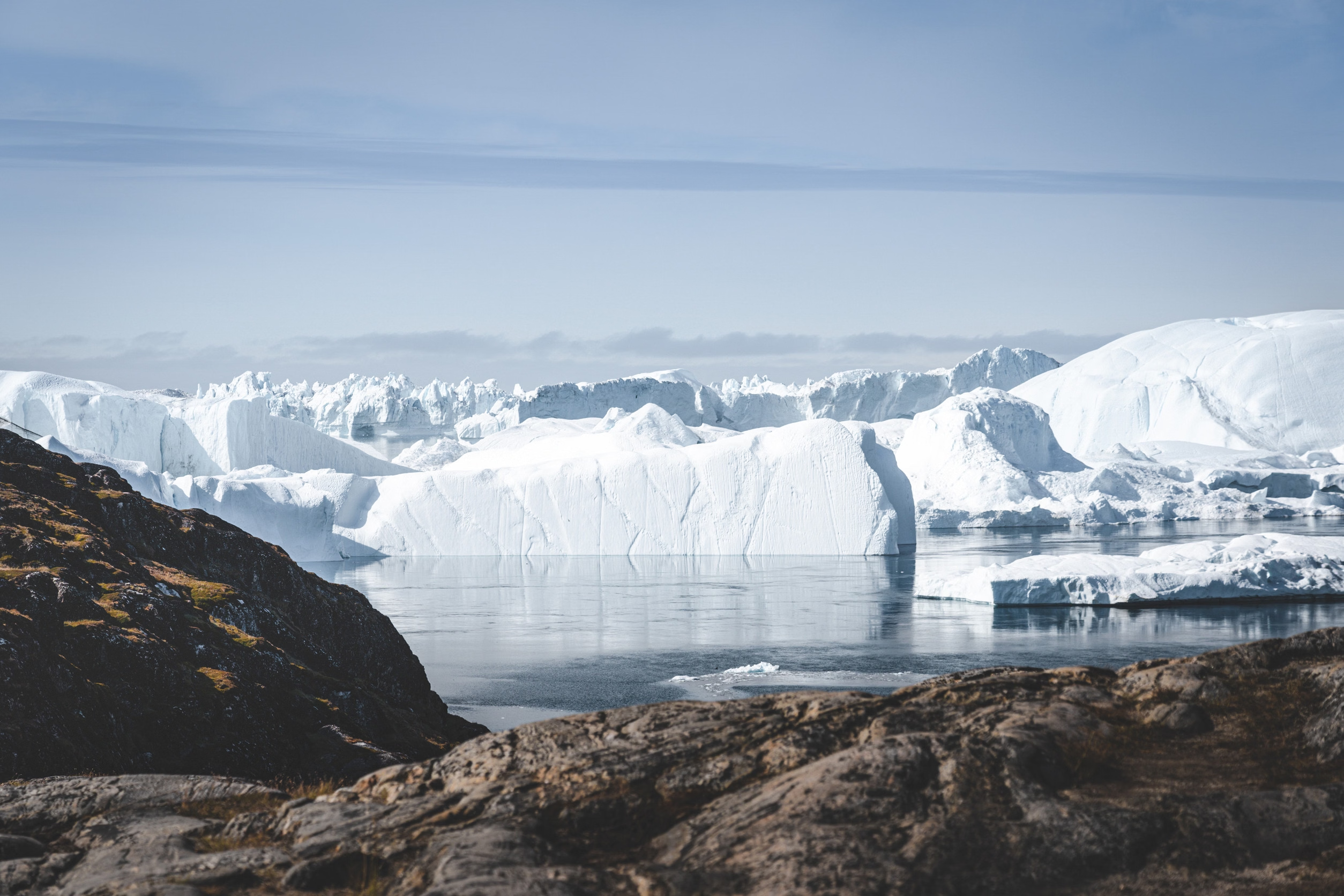
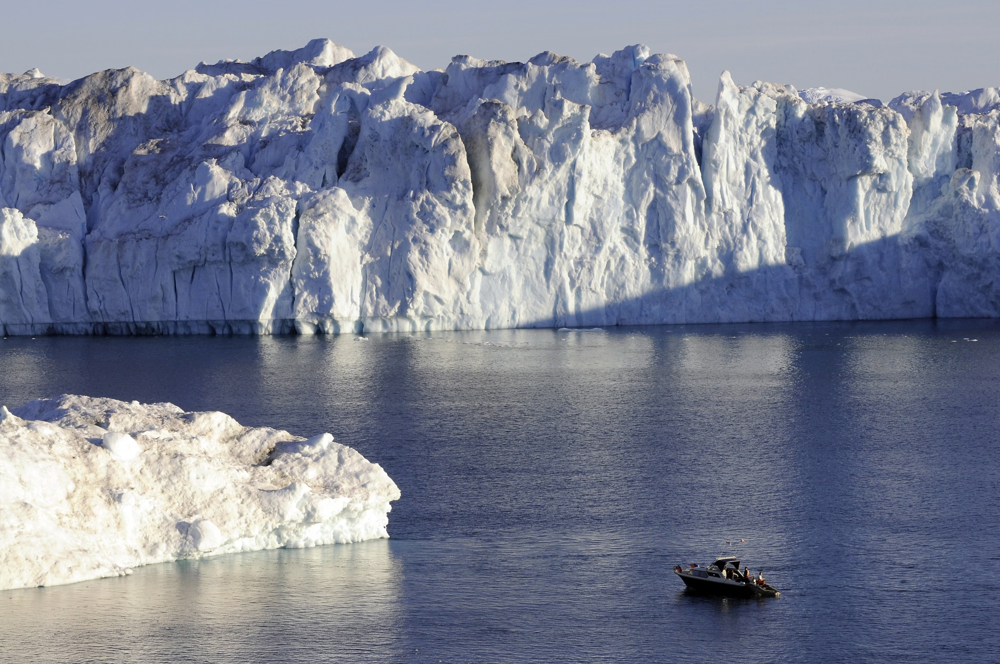
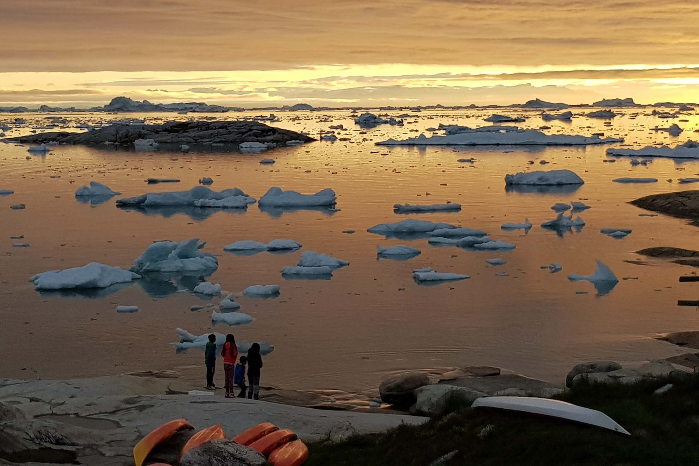
The most productive glacier in the northern hemisphere, Sermeq Kujalleq calves 35 cubic kilometres of ice a year, and the fjord is a slow-moving traffic jam of icebergs the size of buildings, grounded on a sill at the mouth. Humpbacks feed among them. In midsummer the sun never sets and the ice turns pink at 2am. UNESCO World Heritage since 2004. The iceberg that sank the Titanic is widely believed to have calved from this glacier. Inuit have hunted here for 4,500 years, and the Sermermiut settlement site beside the fjord holds evidence of three successive cultures. Anchorage: Anchor in Disko Bay clear of drifting ice; never anchor downwind of a berg field. Hazards: Calving icebergs generate waves and roll without warning, keep a wide margin. Growlers are hard to see and hole hulls.