Kornati & Telašćica
AnkernGenehmigung nötigMuringbojen
Auch gut zum Schnorcheln
- Grund
- Halt
- Tiefe
- 5–20 m
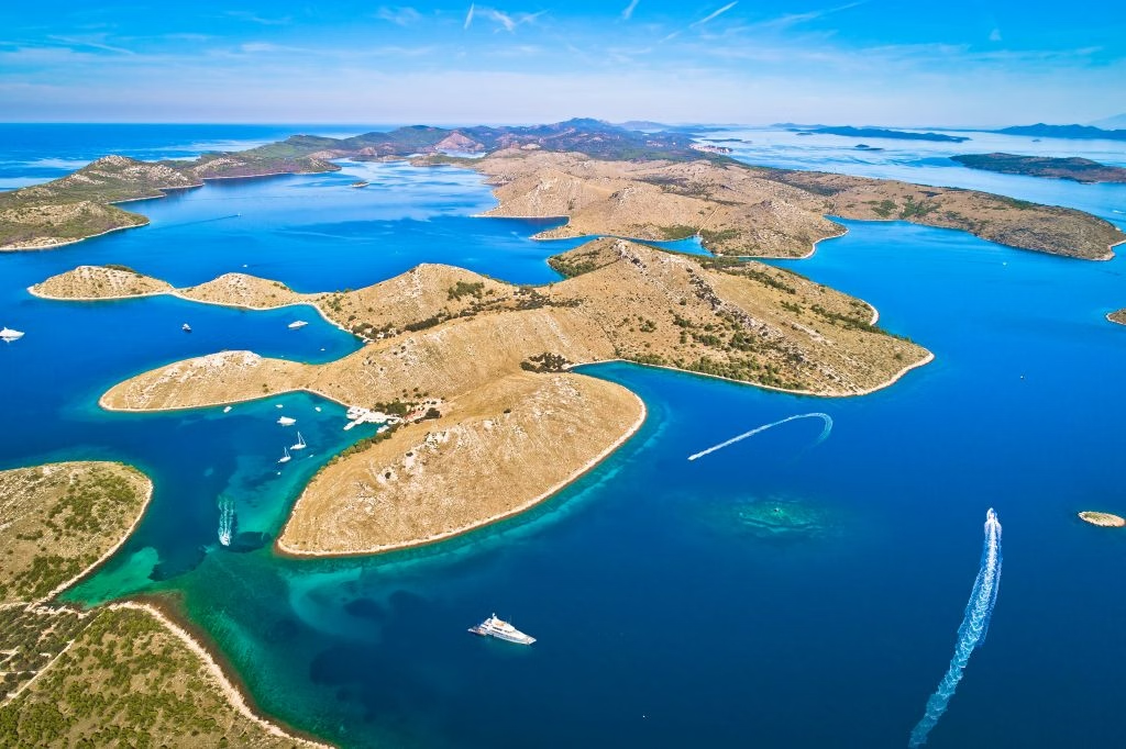
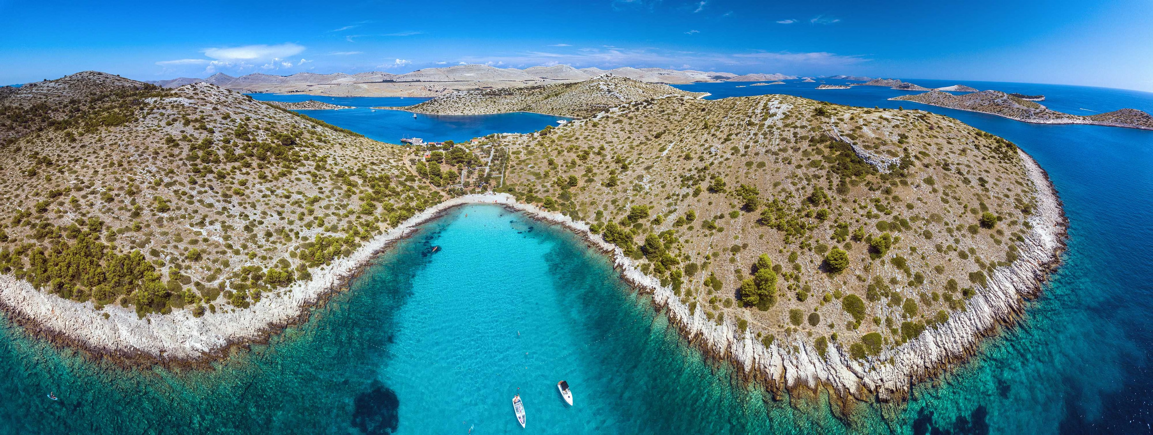
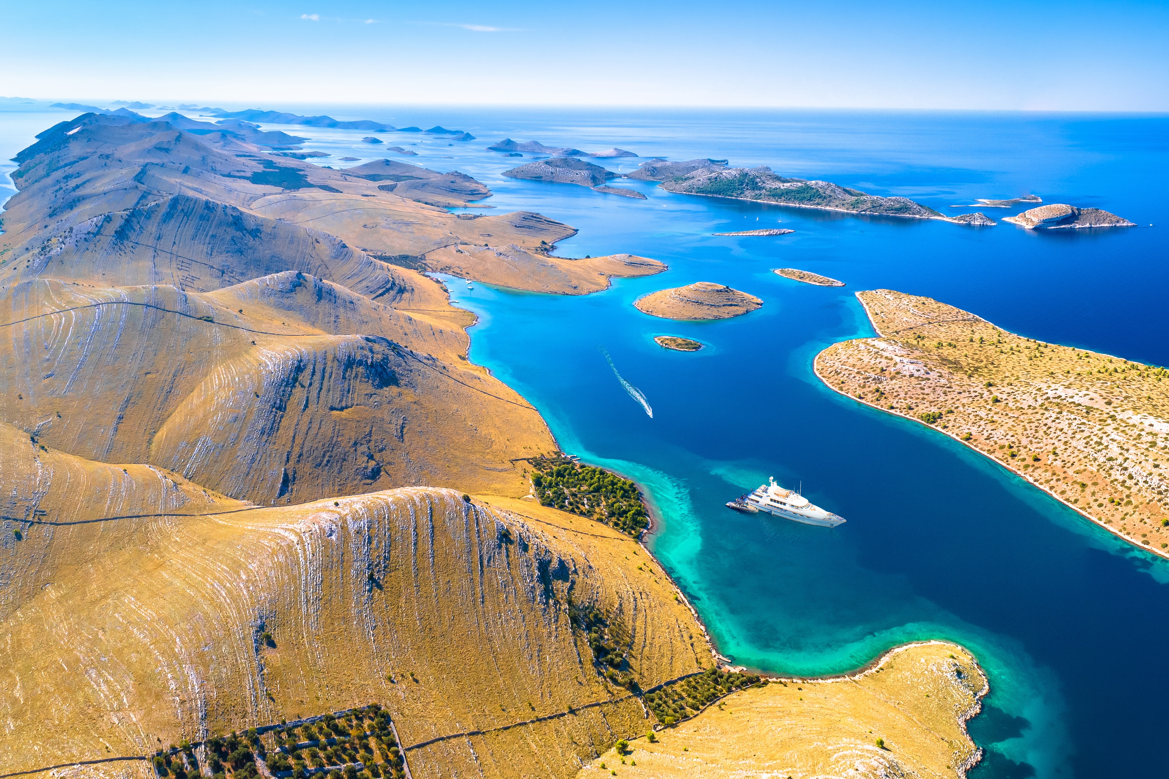
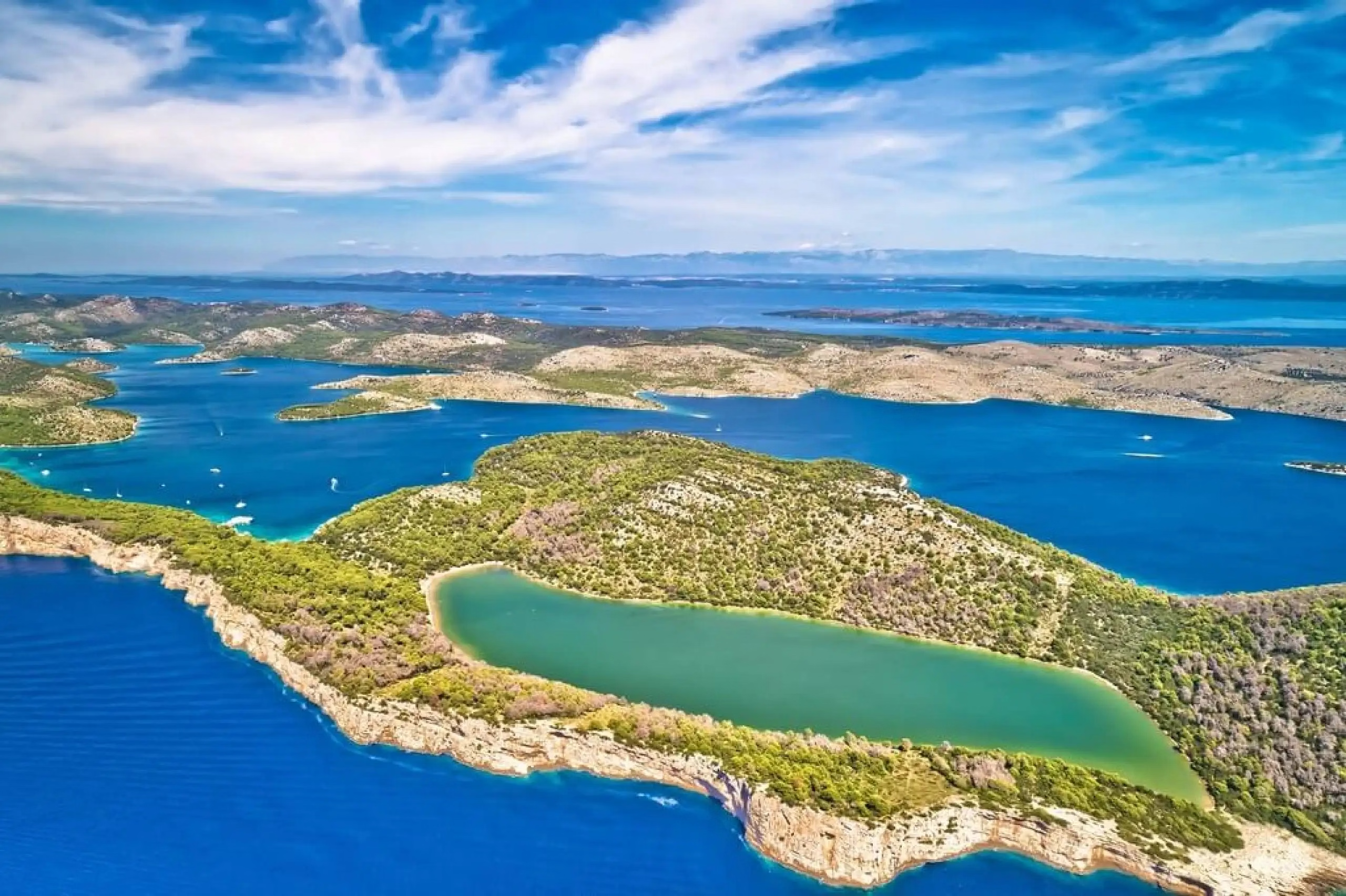
Bernard Shaw's line was that on the last day of Creation God wanted to crown his work and made the Kornati from tears, stars and breath. Bare white karst islands with no fresh water and no people, the 'crowns', 200m cliffs on the seaward side, and the salt lake of Mir at Telašćica, warmer and saltier than the sea. Grazed by shepherds from Murter for centuries, hence the treeless landscape and the drystone walls that run into the sea. Declared a national park in 1980. Almost every island is privately owned by Murter families who run konobas from stone cottages in summer. Anchorage: One of the Mediterranean's great anchoring grounds, 89 islands, shelter in every wind, park permit required. Hazards: No site-specific hazards noted, brief normally.