Kume-jima & Hate-no-Hama
AnkernKeine GenehmigungMuringbojen
Auch gut zum Schnorcheln

- Grund
- Sand
- Halt
- Tiefe
- 3–12 m
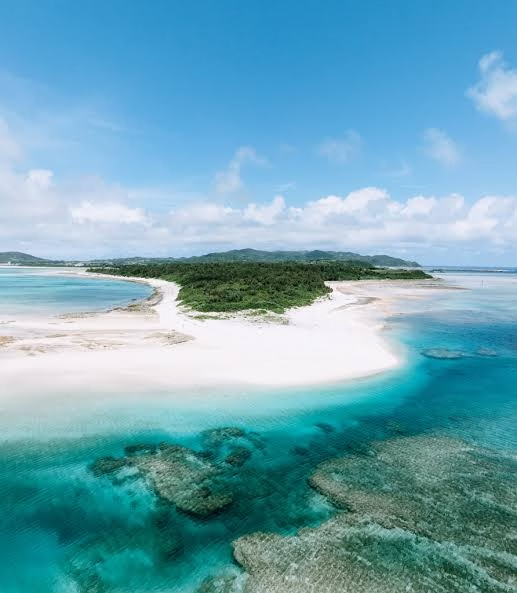
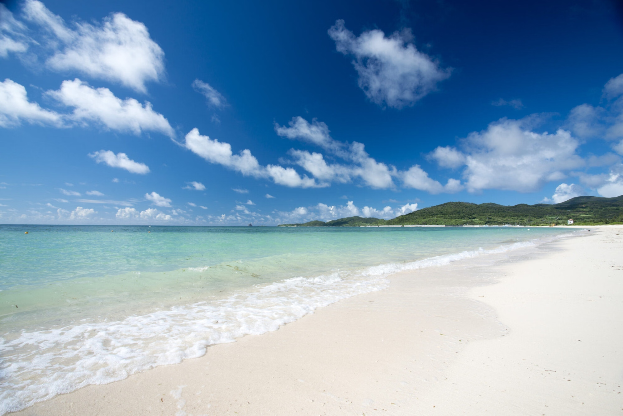
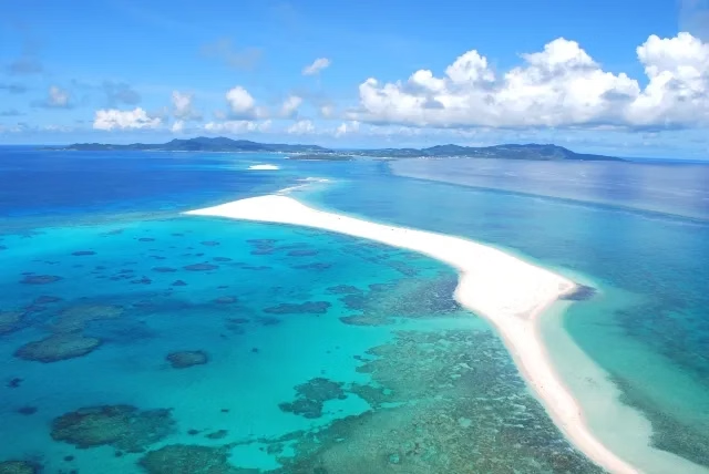
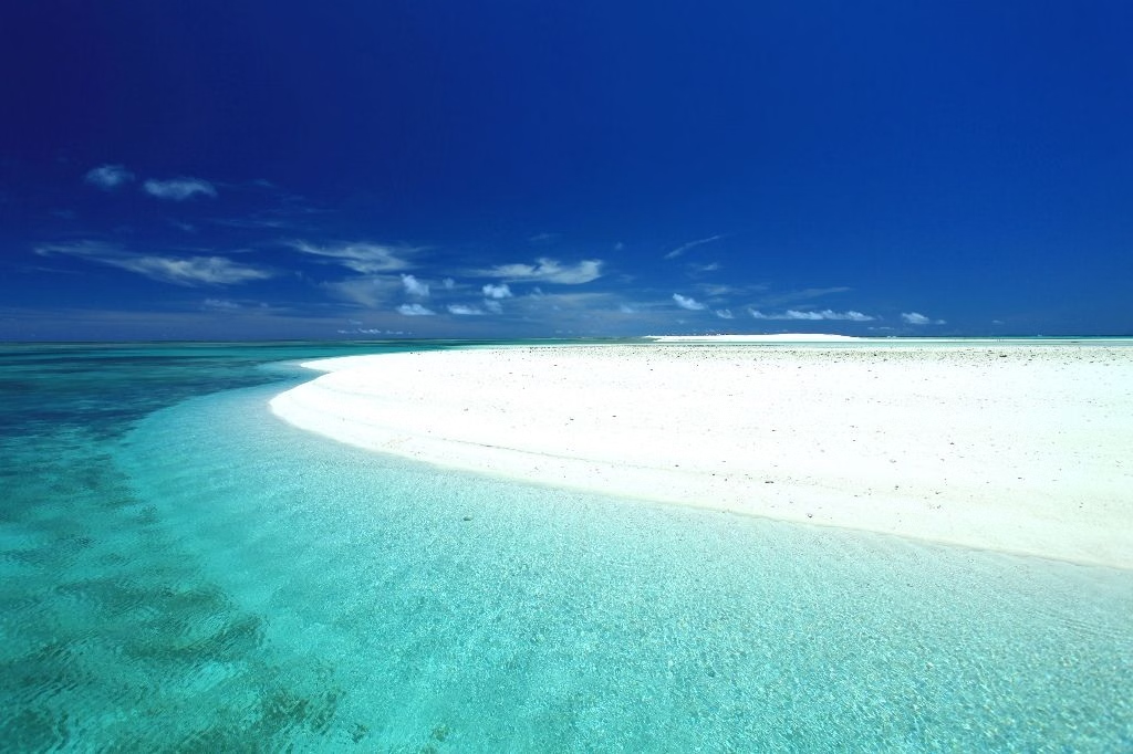
Hate-no-Hama, seven kilometres of pure white sandbar rising out of open turquoise east of Kume-jima, with no land in sight and nothing on it. Japan's answer to the Maldives sandbank, and almost nobody outside Japan has heard of it. Good reef snorkelling and turtles around the island. Kume-jima was a stopover on the Ryukyu Kingdom's China trade route and retains Ryukyu-era stone villages and the Tatami-ishi, a shore of naturally pentagonal basalt slabs. The island also hosts a deep-seawater research facility drawing 612m water for aquaculture, an unlikely piece of ocean engineering. Anchorage: Anchor off in 3-12m sand and tender to the bar. Kume-jima's harbours give shelter. Hazards: The sandbar submerges on the flood, know the tide, and never leave anyone on it. Typhoons Jul-Oct.