Phú Quý island
SonnenuntergängeKeine GenehmigungKeine Muringbojen
Auch gut zum Schnorcheln & Ankern
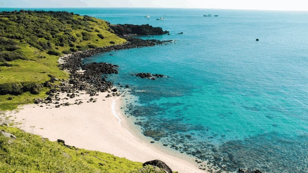
- Aussicht
- Beste Zeit
- Sunset and Sunrise
- Ankerplatz
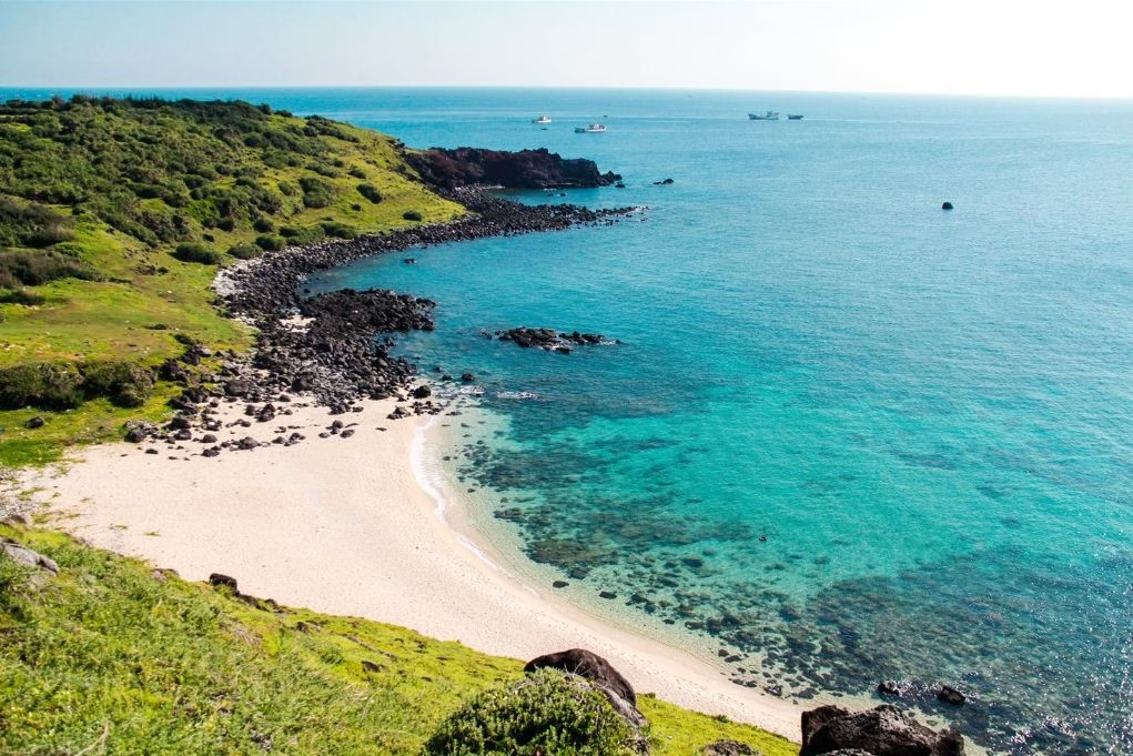
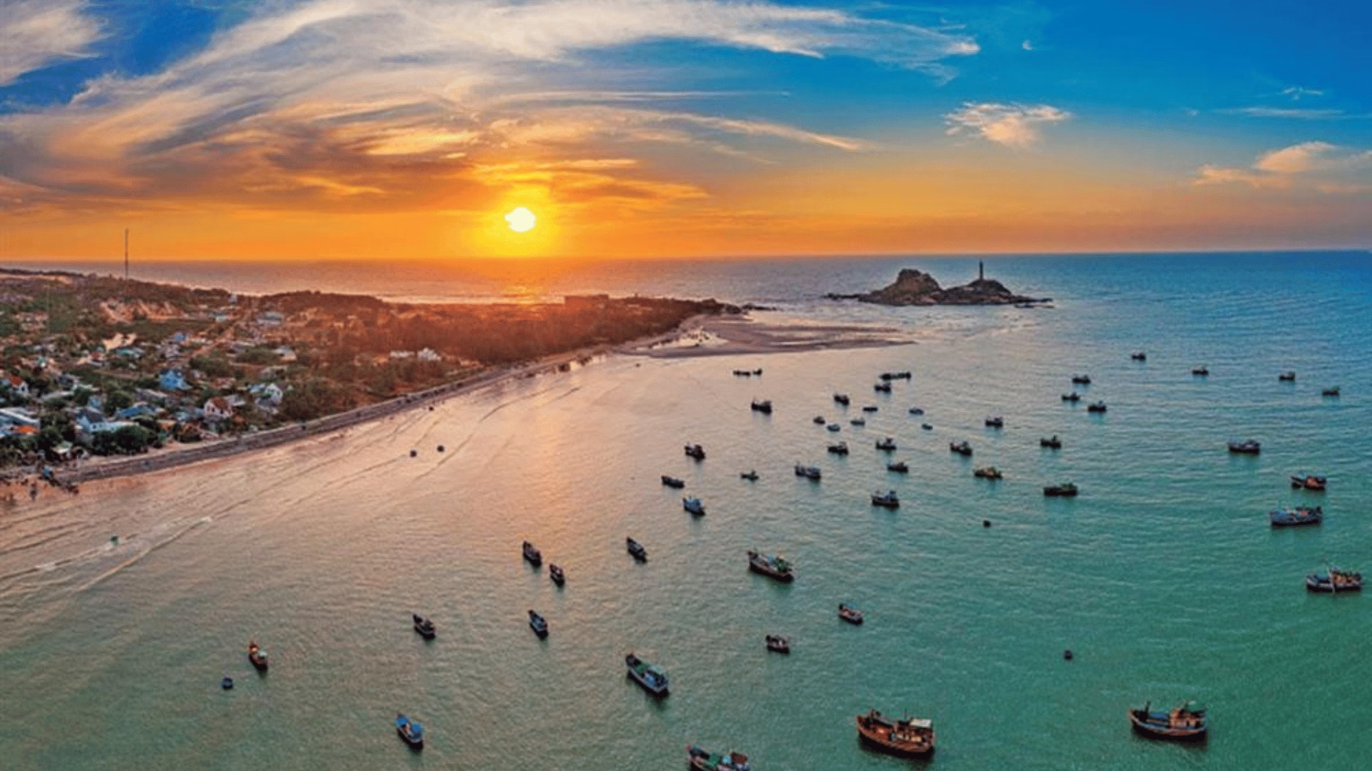
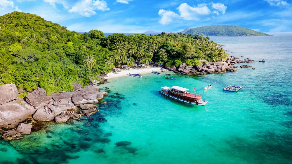
Black basalt headlands dropping into clear water, the Gành Hang cliff pools, lava-rock tide pools you can swim in, and coral flats that Vietnamese divers say are in better shape than anything on the mainland coast. Sunrise off the eastern cliffs is the reason people stay a second day. Phú Quý was a Cham island before it was Vietnamese, and its old temples and whale shrines reflect a fishing culture that venerated the whale as a protective spirit. It stayed off the tourist map because the crossing is six hours in a rough sea. Anchorage: Anchor in Triều Dương or Lạch Thiếu bay. This is Vietnam's most seaward inhabited island and a natural offshore stop. Hazards: Open-sea crossing with a real monsoon season; the north coast is exposed.