Providencia & Santa Catalina
TauchenKeine GenehmigungMuringbojen
Riffe und Korallen · Auch gut zum Schnorcheln & Ankern
- Beste Zeit
- Jan–Aug
- Wassertemp.
- 26–30 °C
- Tauchtiefe
- 5–40 m
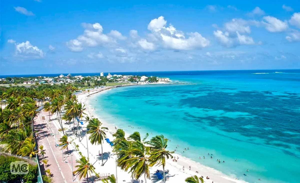
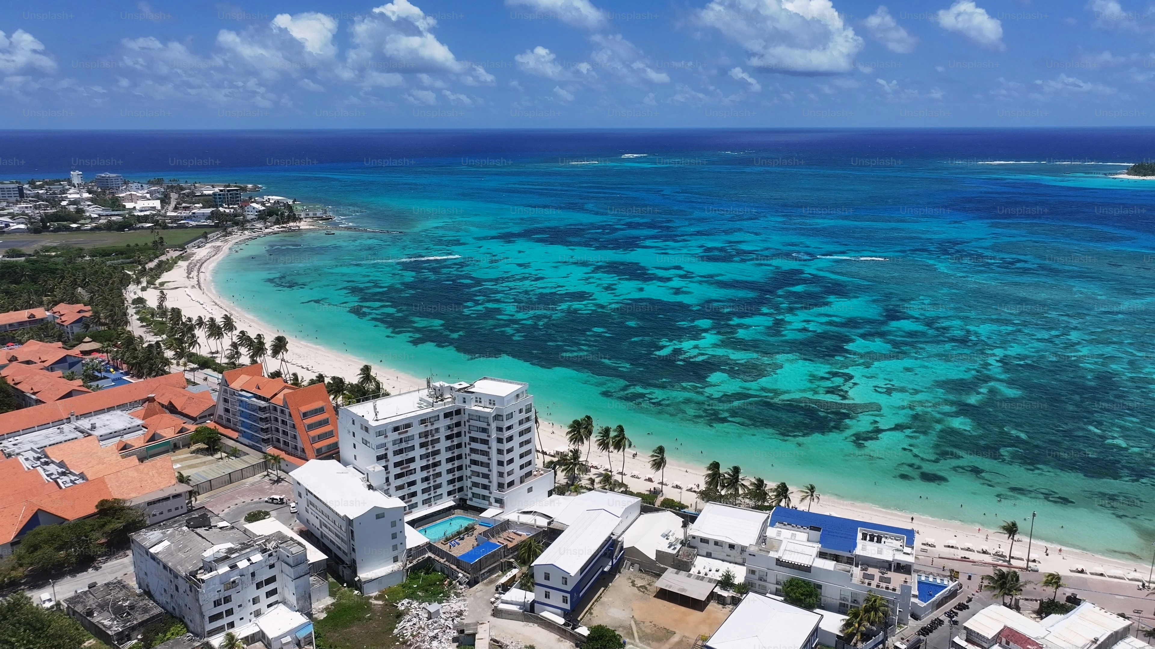
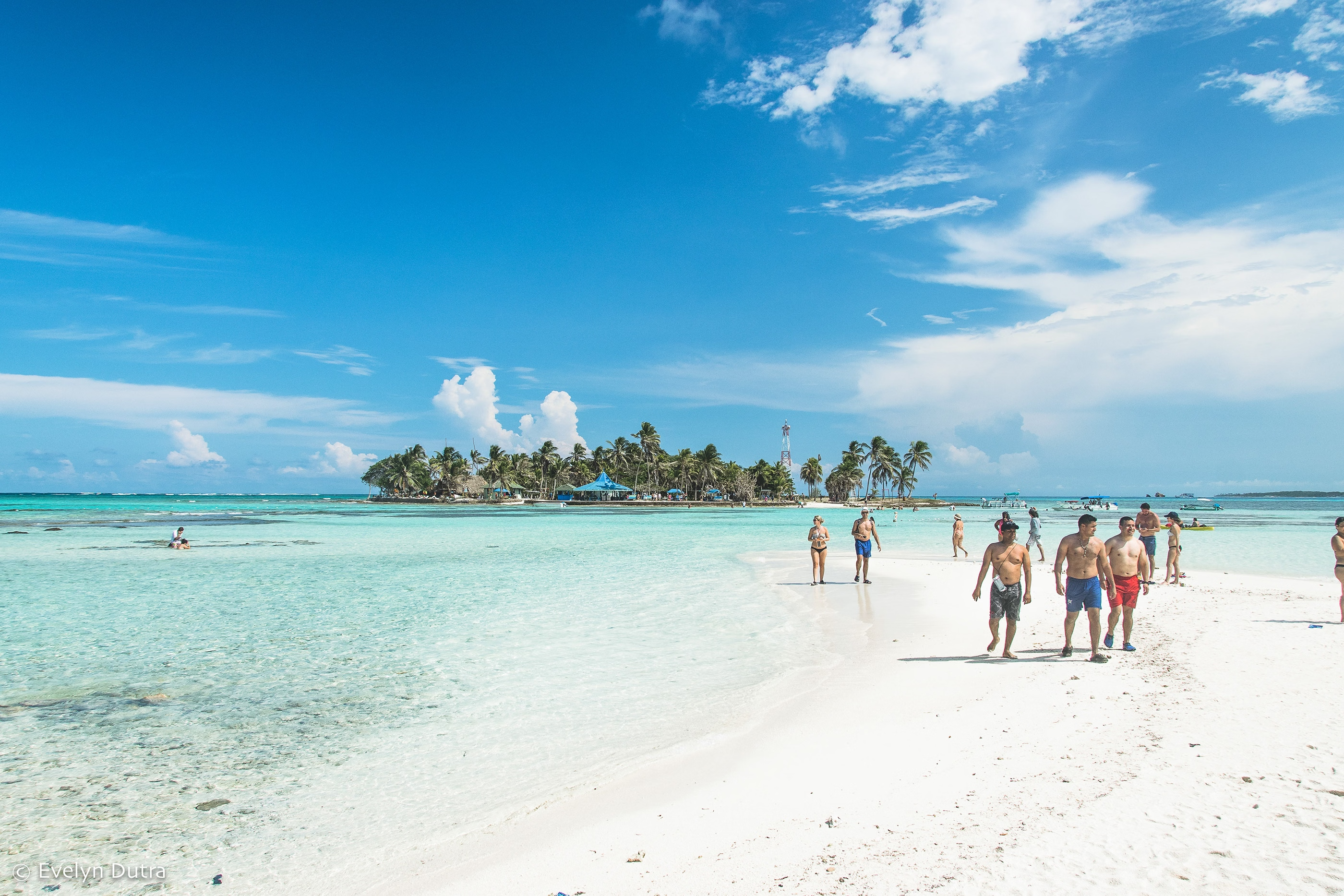
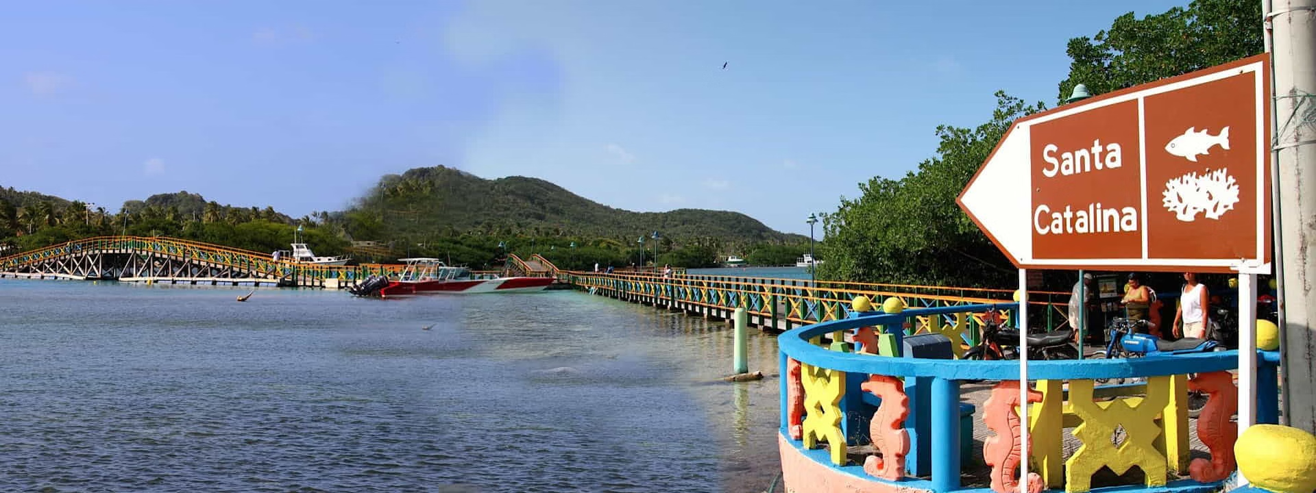
A barrier reef running the length of the island with walls, canyons and reef sharks, plus the wreck local divers call the Planchón, said to have supplied German submarines in the Second World War, and a mountainous English-speaking Creole island that feels nothing like mainland Colombia. Providencia was settled by English Puritans in 1629 and became Henry Morgan's base, Santa Catalina still has the fort and the channel is called Morgan's Head. The islanders speak Creole English, and the archipelago's Seaflower reserve is one of the largest marine protected areas in the Caribbean. Anchorage: Catalina Harbour between Providencia and Santa Catalina, reached through the reef, a genuinely remote Caribbean anchorage 150nm off Nicaragua and 400nm from the Colombian mainland. Hazards: Hurricane season Aug-Nov; Hurricane Iota flattened the island in 2020 and the reef is still recovering.