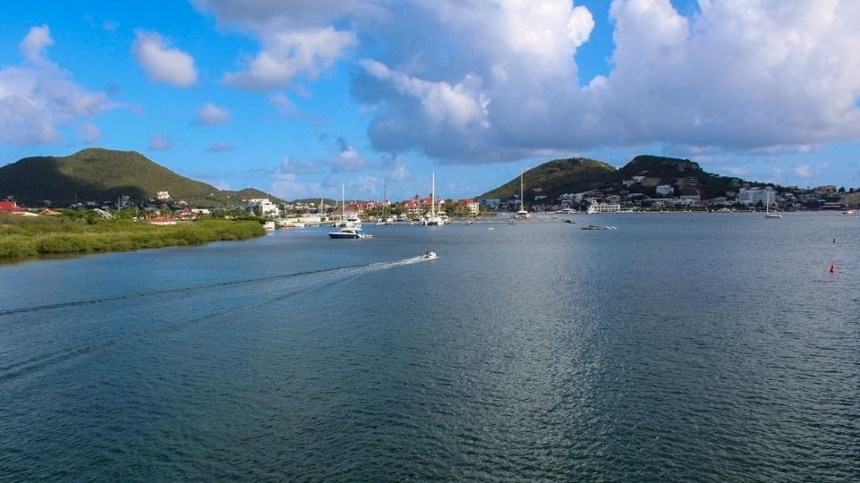
Simpson Bay Lagoon
AnkernKeine GenehmigungMuringbojen
- Grund
- Mud and sand
- Halt
- Tiefe
- 2–6 m
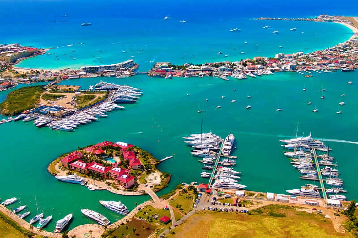
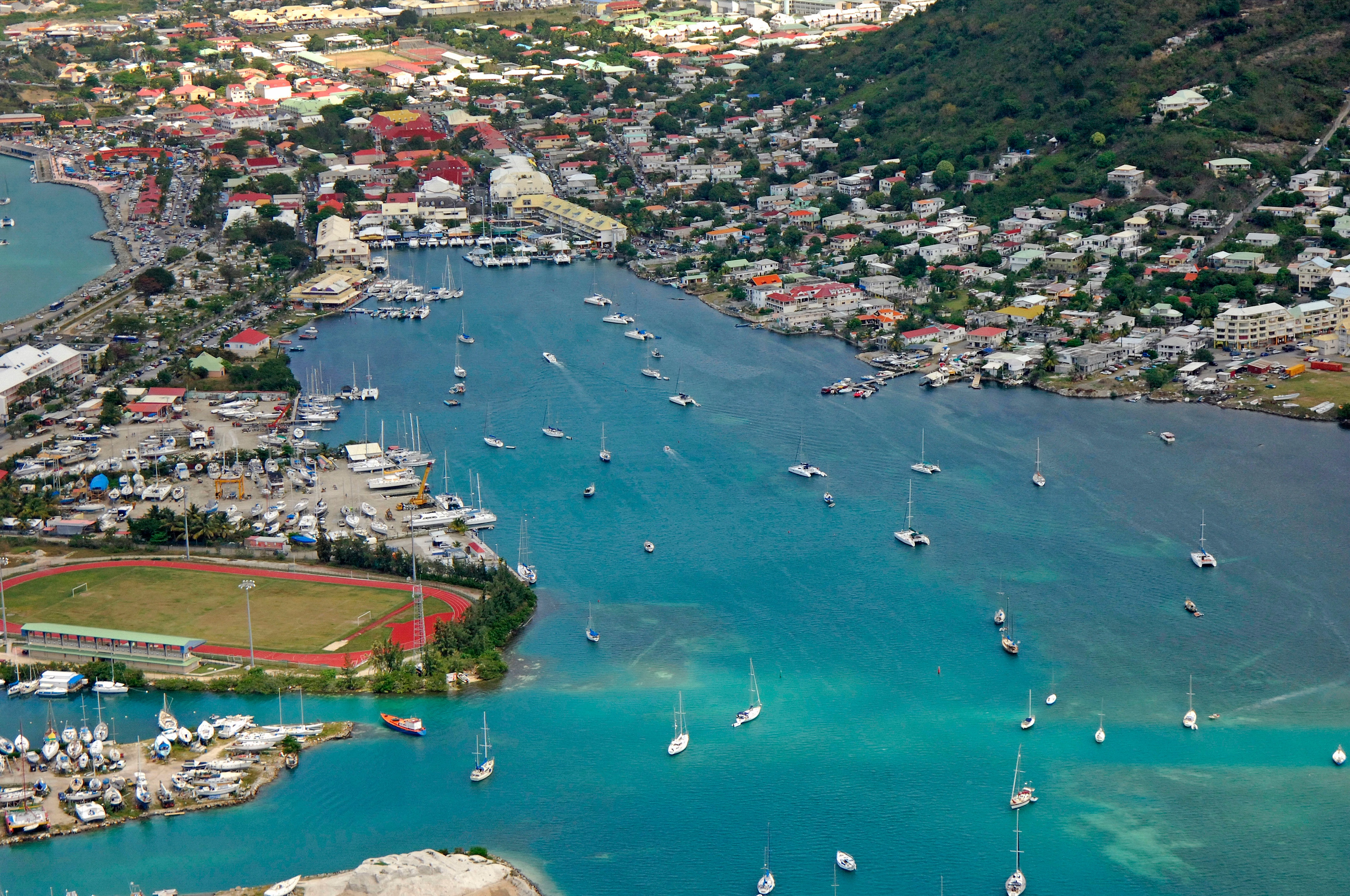
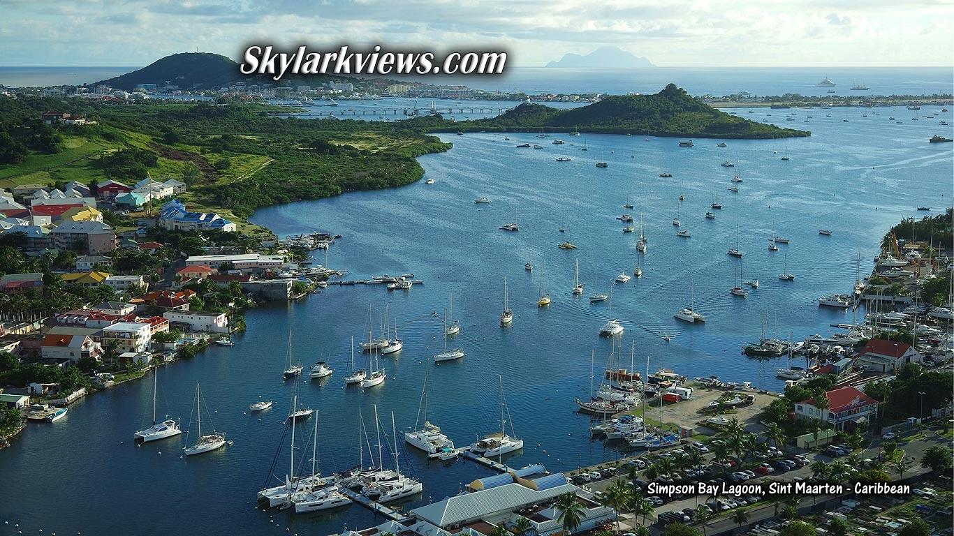
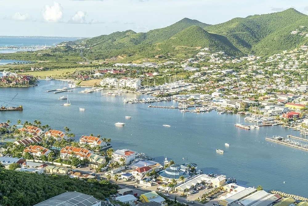
Not scenery, infrastructure. The most complete marine trades cluster in the eastern Caribbean, and an airport approach where jets pass low enough over Maho Beach to be a tourist attraction in their own right. The island has been split between France and the Netherlands since 1648, reputedly the longest-standing undisputed border of its kind. Hurricane Irma flattened the lagoon fleet in 2017; the wrecks were cleared and the yards rebuilt. Anchorage: A large enclosed lagoon entered through lifting bridges from Simpson Bay on the Dutch side or Marigot on the French. Flat water, chandlery, sailmakers, riggers and yards, the reason half the Caribbean fleet passes through here every season. Hazards: The lifting bridges open only at set times and the channel is narrow; check the day's schedule, and note the lagoon is split between two countries with separate formalities.