Whitehaven Beach & Hill Inlet
AnkernKeine GenehmigungKeine Muringbojen
Auch gut zum Schnorcheln
- Grund
- Halt
- Tiefe
- 5–15 m
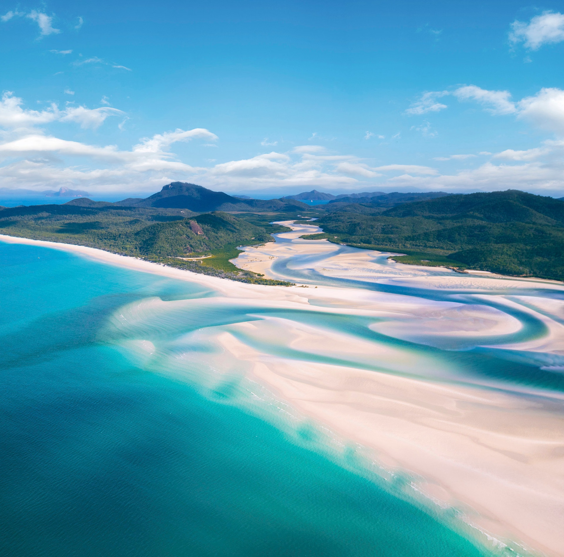
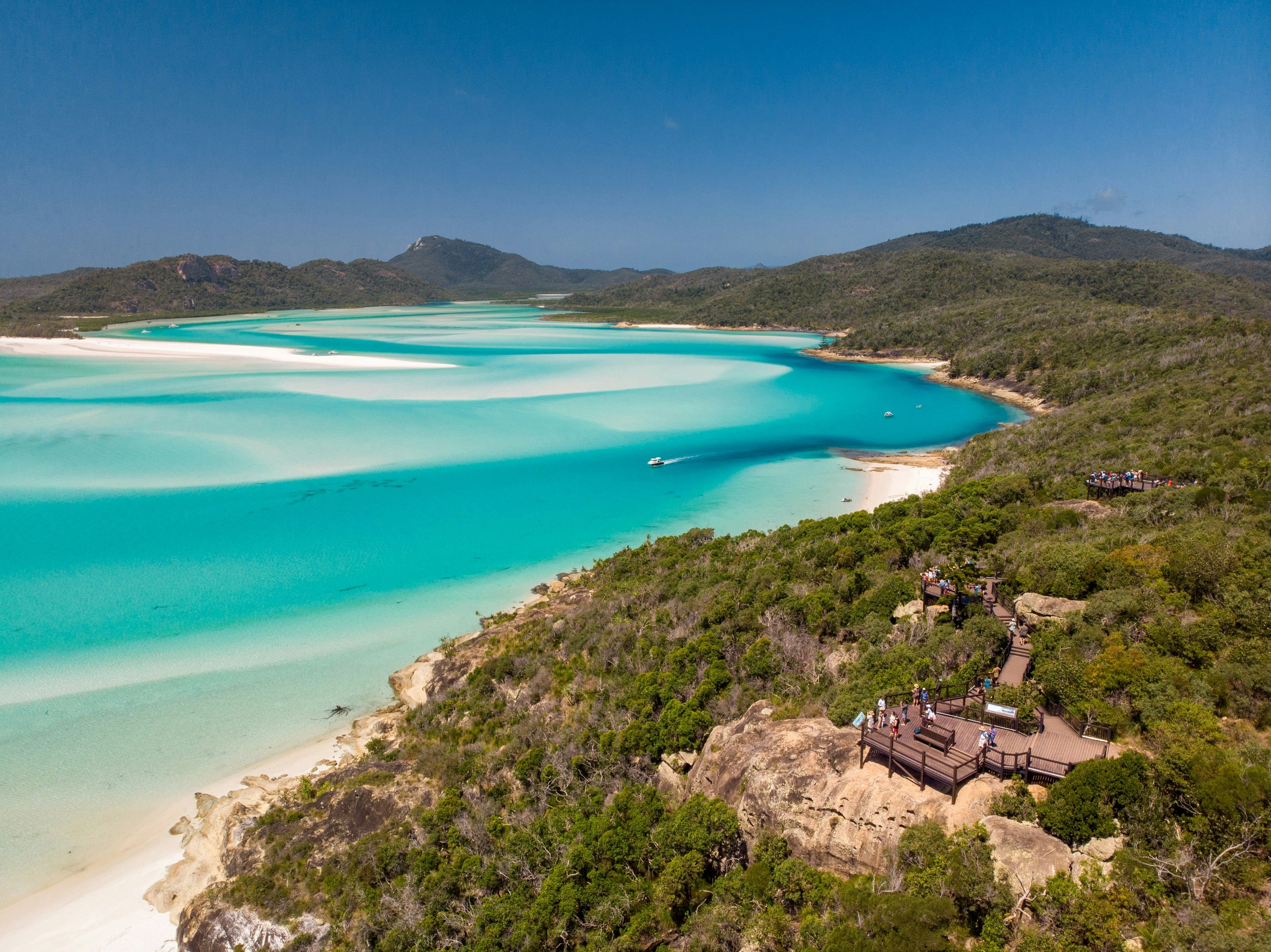
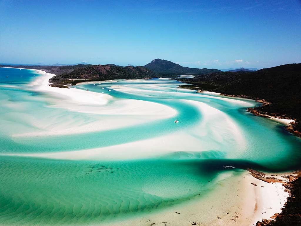
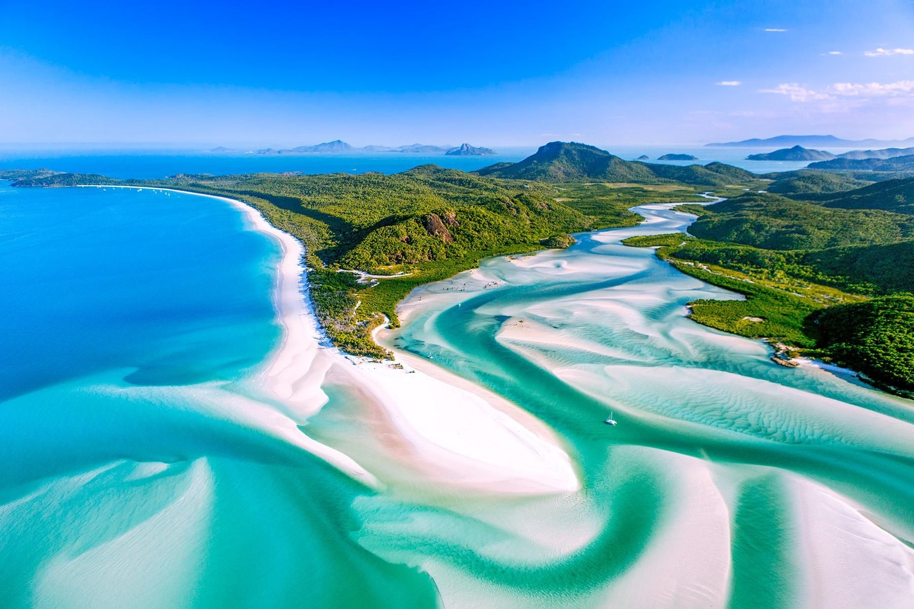
Seven kilometres of 98% pure silica sand so white and fine it squeaks and doesn't hold heat, and at Hill Inlet the tide swirls that sand through turquoise water into a marbled pattern that changes every hour. It is the most photographed beach in Australia and the aerial view is the whole point. The silica is unusually pure and is thought to have arrived by ocean current over millions of years rather than from local rock. Whitsunday Island is Ngaro sea country, the Ngaro people navigated these waters in bark canoes for 9,000 years, and their rock art survives at Nara Inlet. Anchorage: Good shelter in the trade winds in Tongue Bay and Whitehaven's southern end; the Whitsundays have 70+ mapped anchorages. Hazards: Aug-Oct (dry, no stingers, steady trades). Nov-May box jellyfish season, stinger suits.