Cala Culip & Cap de Creus
FondeoSin permisoBoyas de amarre
También bueno para hacer esnórquel
- Tipo de fondo
- Sand and rock
- Agarre
- Profundidad
- 3–25 m
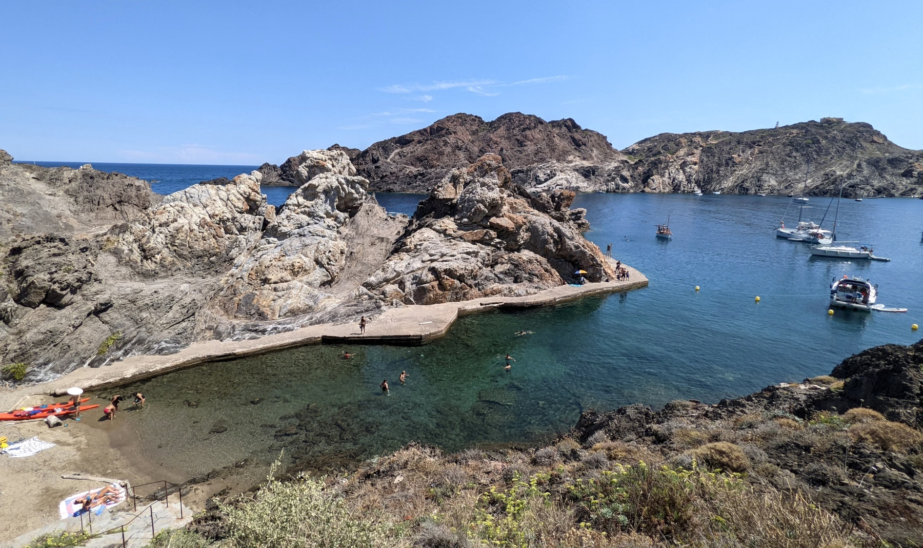
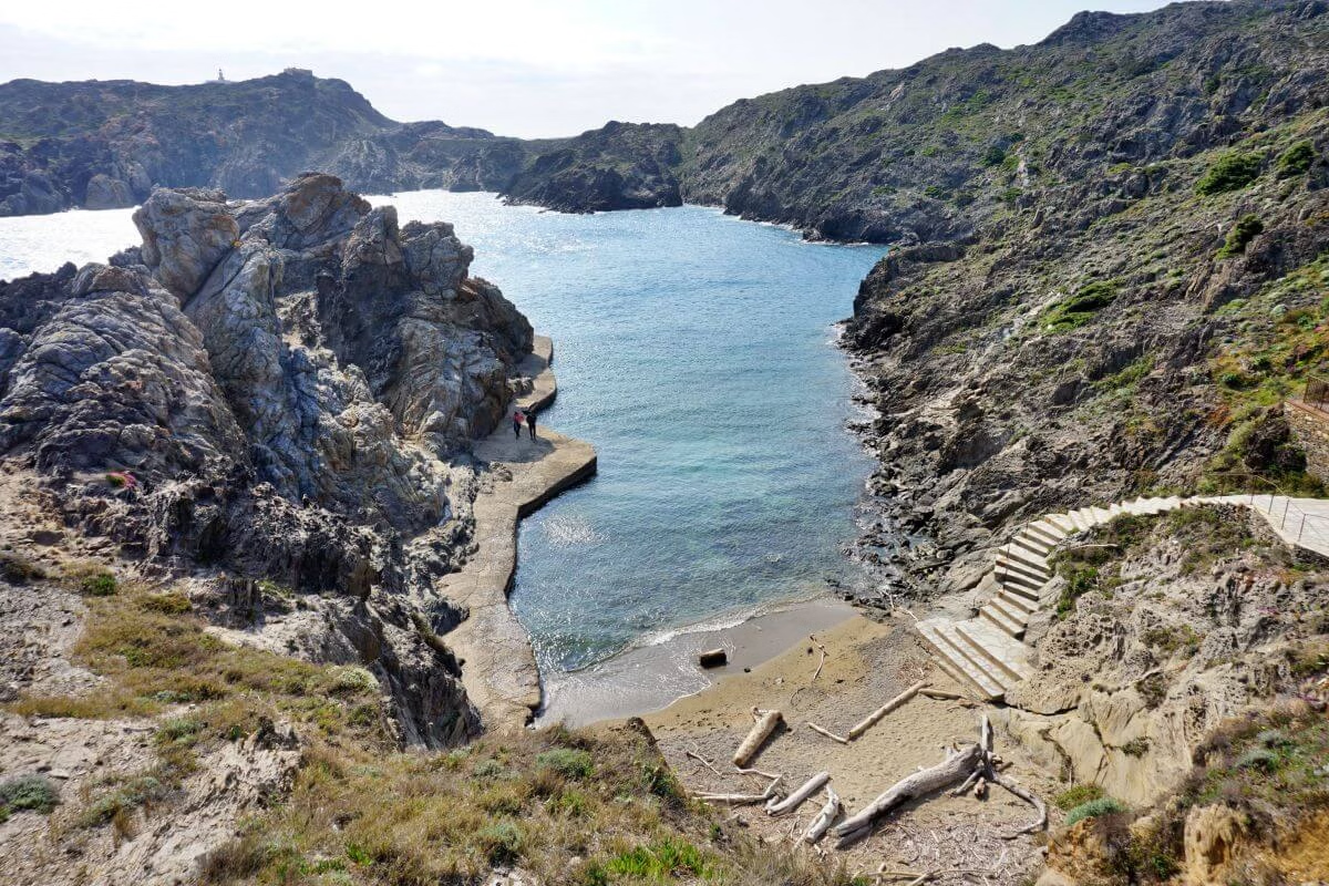
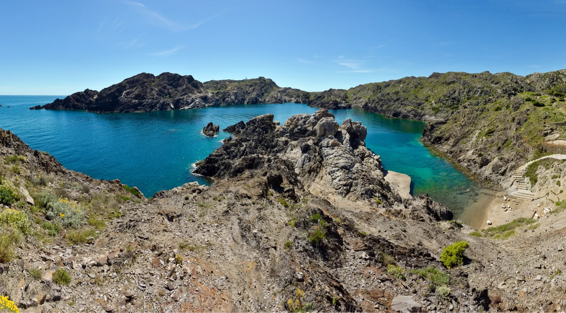
Black slate rock folded into shapes that Dalí painted from the shore at Portlligat, clear water over posidonia, and the Cadaqués coast around the corner. The cove is a natural harbour that has been used since Greek and Roman traders worked this coast, amphorae have come off the bottom here. Cap de Creus was Spain's first land-and-sea natural park, declared in 1998 after the military left. The headland's shape makes it a genuine weather divide, the tramuntana funnels round it, which is why so many wrecks lie on this stretch. Anchorage: A tiny cove barely 15m across at the head, tucked under Cap de Creus with almost no land access, Spanish cruising guides list it among the country's best hidden anchorages. Hazards: The tramuntana comes on hard and fast on this coast; watch the forecast.