Francis Bay, St John
FondeoSin permisoBoyas de amarre
También bueno para hacer esnórquel
- Tipo de fondo
- Sand and seagrass, moorings protect the grass
- Agarre
- Profundidad
- 3–12 m
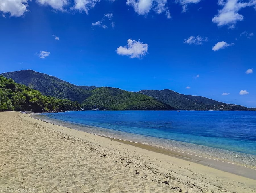
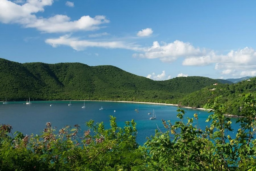
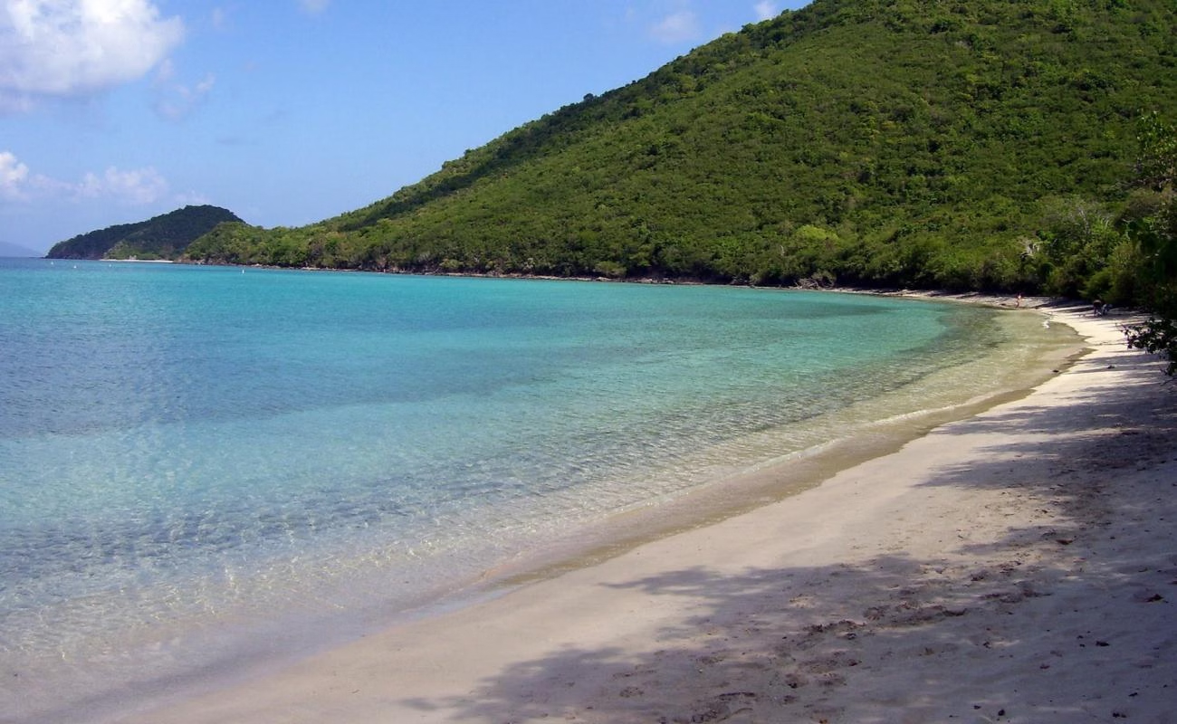
Turtles and rays in the seagrass directly below the mooring, fish-eating bats hunting the surface at dusk, a boardwalk over a salt pond full of waders, and the Mary Point cliffs closing the bay. Francis Bay's estate house ruins date from the Danish plantation era. Mary Point above the bay is where enslaved people are said to have jumped rather than be recaptured after the 1733 rebellion, the north shore's beauty sits on top of that history. Anchorage: A big park mooring field on St John's north shore with a boardwalk over the salt pond behind the beach. Sheltered, sandy, and quieter than Maho next door. Hazards: Northerly swell in winter can roll into the bay hard enough to move boats on.