Hạ Long Bay & Lan Hạ
Couchers de soleilPermis requisPas de bouées d'amarrage
Aussi idéal pour le snorkeling & le mouillage
- Type de vue
- Meilleure période
- Sunset and After dark
- Mouillage
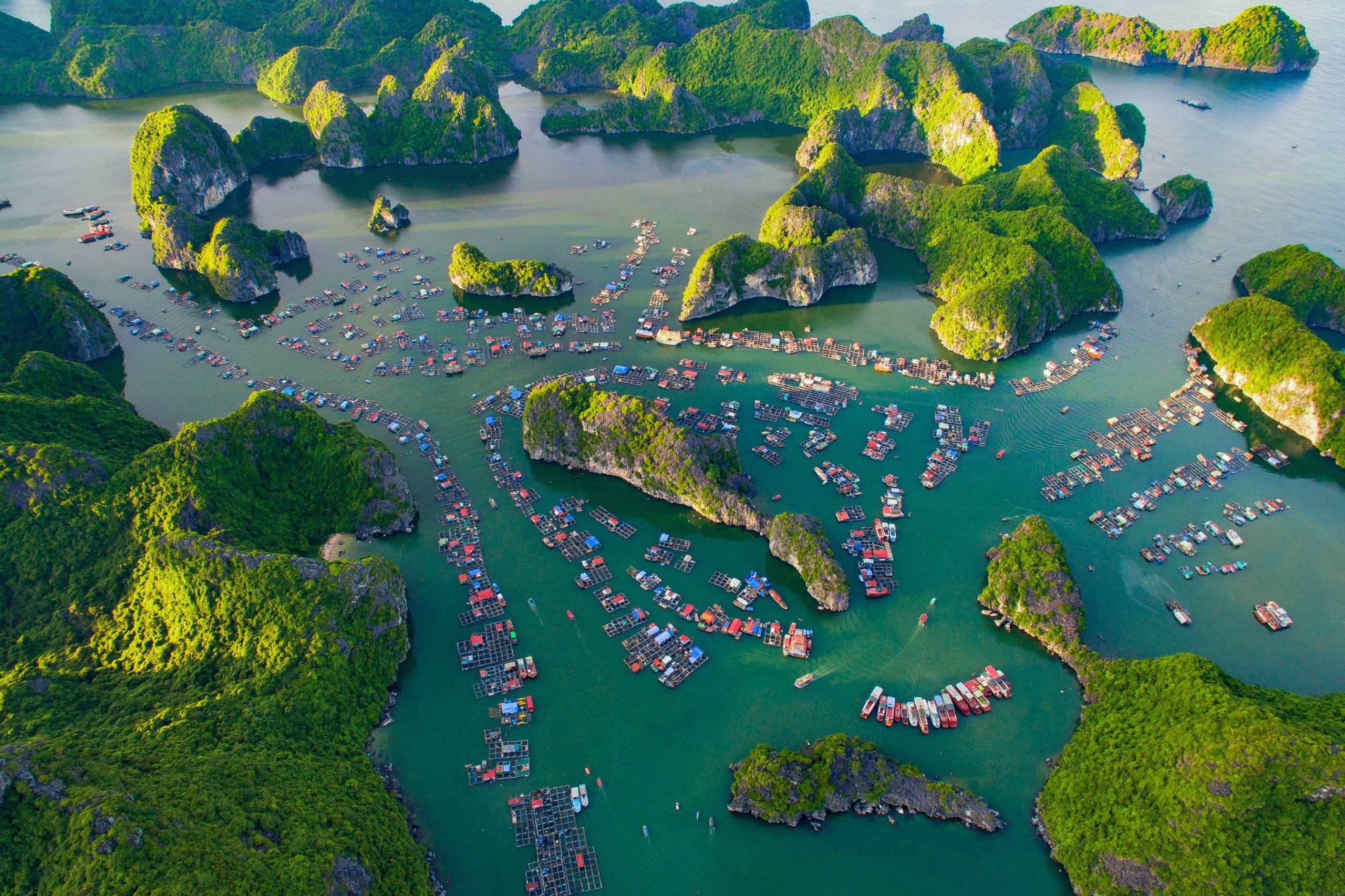
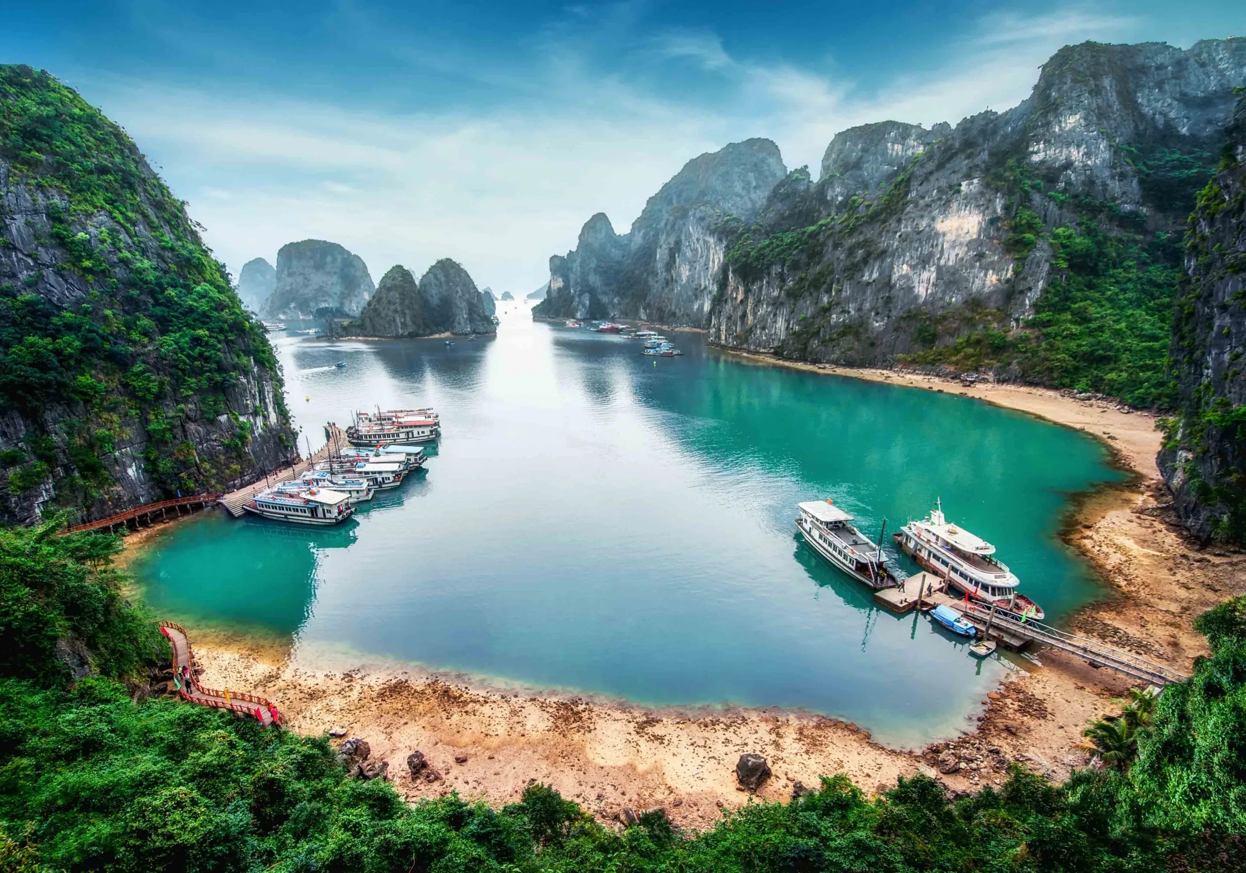
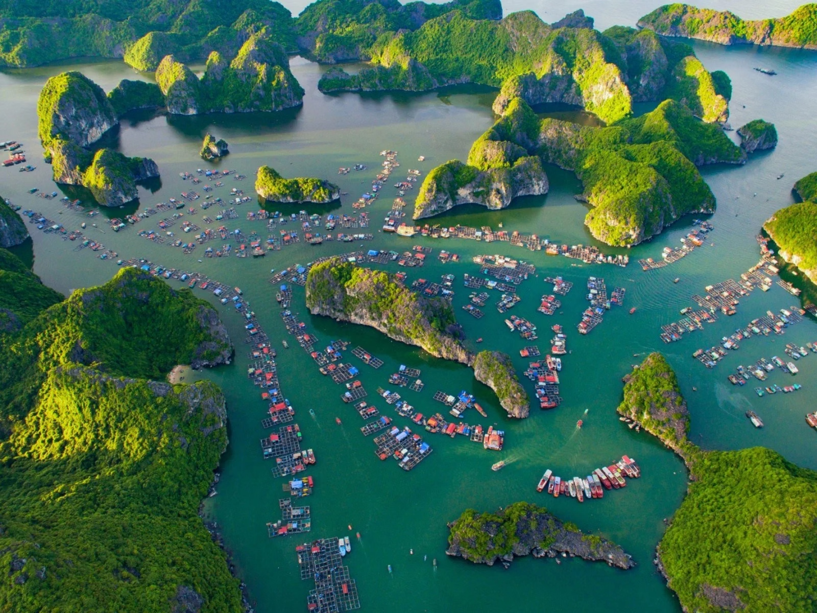
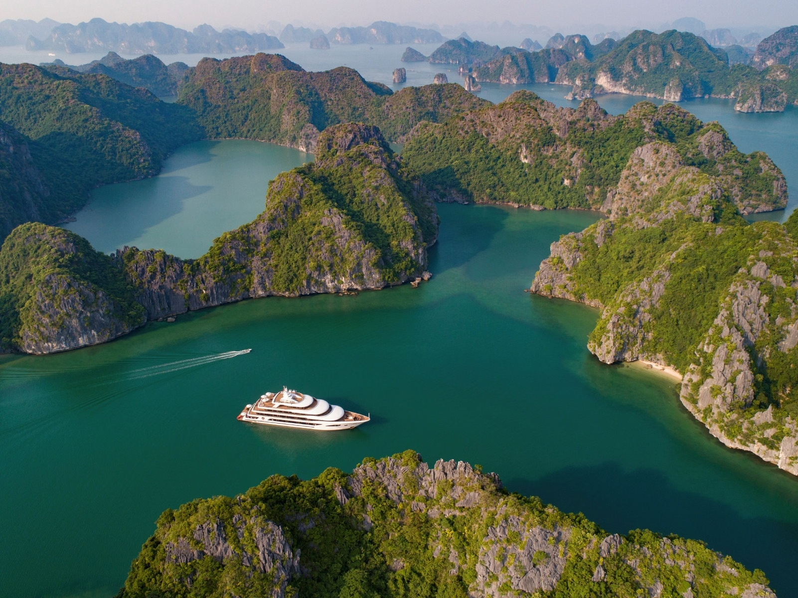
Sixteen hundred limestone towers and islets rising out of jade water, with floating fishing villages, caves like Hang Sung Sot, kayak-only tunnels into hidden lagoons, and, on dark nights, bioluminescent plankton in the water. Lan Hạ, next door, is quieter and better. A UNESCO World Heritage site since 1994. The karst is 20 million years of limestone erosion. The name means 'descending dragon', legend has dragons sent to defend Vietnam spitting jewels that became the islands. Overtourism and pollution triggered UNESCO warnings and a state clean-up; the outer bays remain far better than the main channel. Anchorage: Sheltered anchoring among 1,600 limestone islands. Cruising permits and licensed itineraries are required; independent yachting is tightly controlled, plan the paperwork early. Hazards: No site-specific hazards noted, brief normally.