Múlafossur & the Faroese cliffs
TramontiNessun permessoNessuna boa di ormeggio
Ottimo anche per l'ancoraggio
- Tipo di vista
- Periodo migliore
- Sunset and After dark
- Ancoraggio
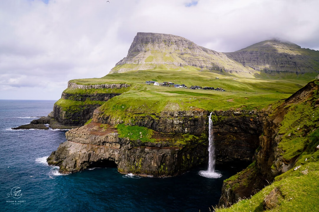
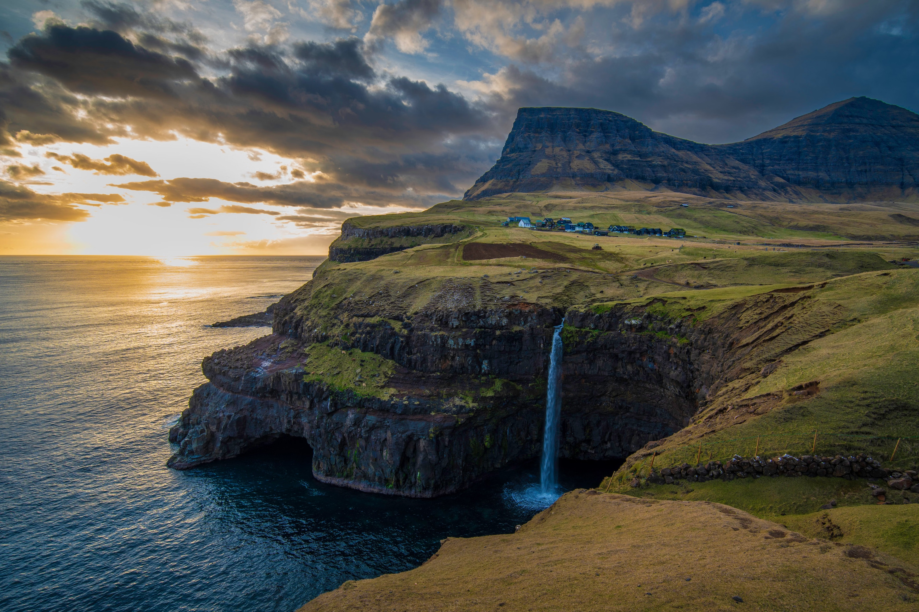
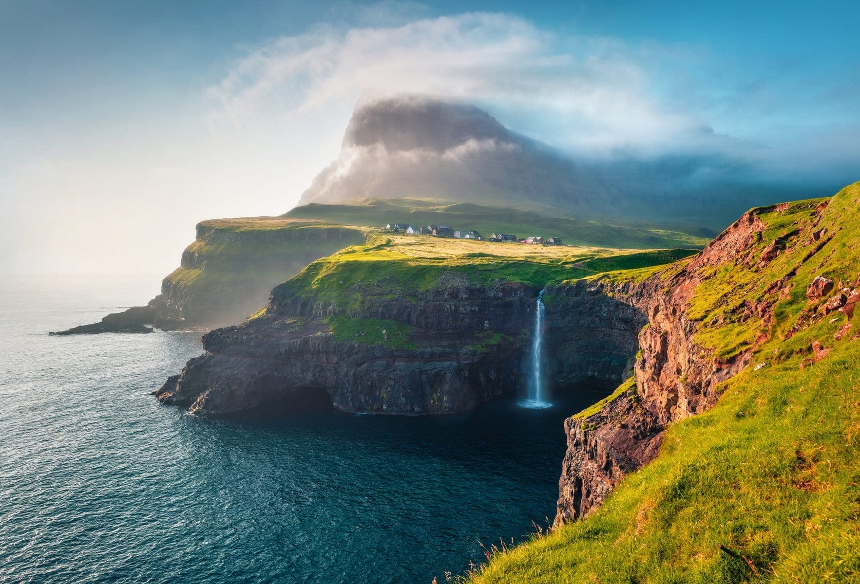
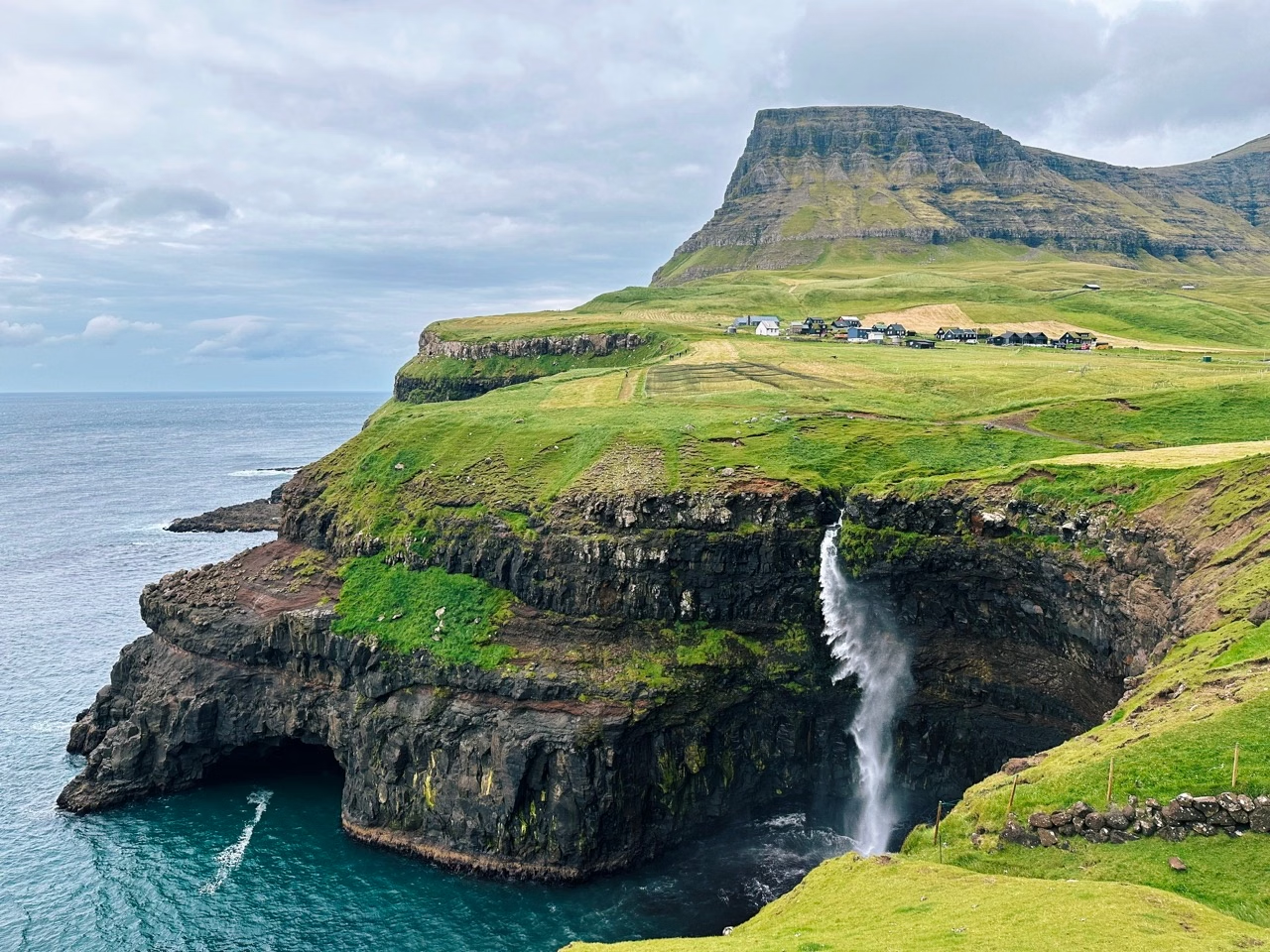
A waterfall dropping straight off a cliff into the open Atlantic beside a village of a dozen houses, with 700m basalt walls behind it. Nearby, Sørvágsvatn, a lake that from the right angle appears to hang hundreds of metres above the ocean, an optical illusion that is one of the most striking sights in the North Atlantic. Puffin and gannet colonies, and Drangarnir's sea stacks. Gásadalur had no road until a tunnel was blasted in 2004, until then the postman climbed a 400m mountain pass twice a week. The Faroes' 18 islands were settled by Irish monks and then Norse in the 9th century; the traditional grass-roofed houses and the boat-based village layout are unchanged in centuries. Anchorage: No shelter on this coast; base in Sørvágur or Tórshavn. Tidal streams between the islands run to 8kt, pilotage is serious. Hazards: No site-specific hazards noted, brief normally.