Cù Lao Chàm
DuikenGeen vergunningMeerboeien
Riffen en koraal · Ook goed om te snorkelen & ankeren
- Beste tijd
- Mar–Aug
- Watertemp.
- 25–29 °C
- Duikdiepte
- 5–25 m
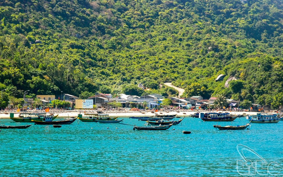
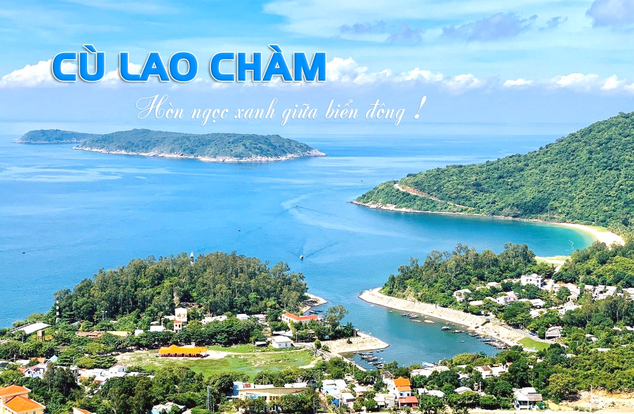
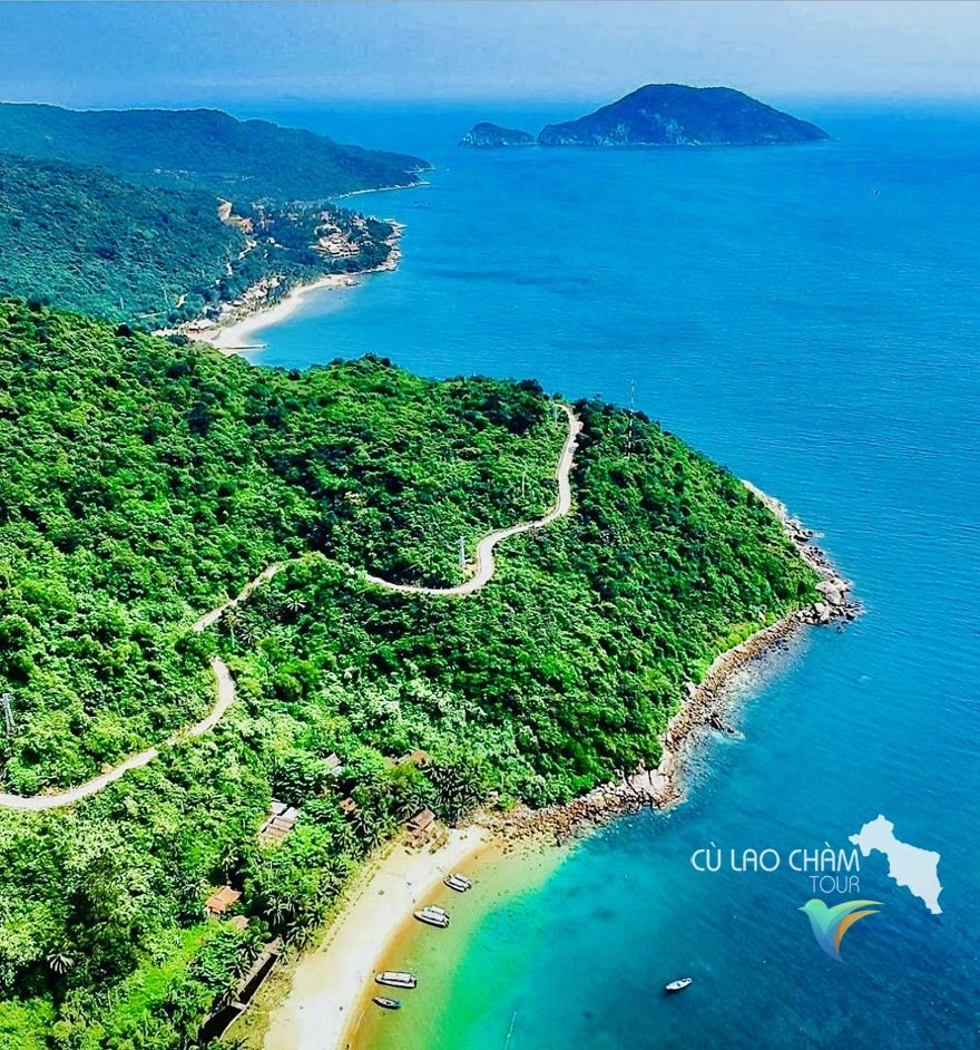
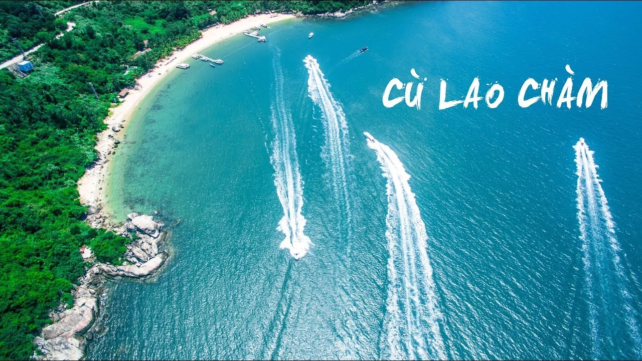
Around 165 hectares of coral with more than 200 species recorded, plus the swiftlet cliffs the islands are famous for, a 400-year-old fishing village and the ceramics of shipwrecked trading junks in the local museum. Snorkelling is right off the beach. Cù Lao Chàm was a water stop on the Champa and later Hội An trade route, and the seabed around it holds wrecks of trading junks, one 15th-century wreck yielded 250,000 pieces of Vietnamese ceramics. UNESCO listed the islands as a biosphere reserve in 2009, and the islanders' plastic-bag ban came with it. Anchorage: Anchor at Bãi Hương or Bãi Làng; the islands are the only sheltered stop between Đà Nẵng and Quy Nhơn. Hazards: Closed to boats in the Oct-Feb monsoon; the crossing gets rough fast.