Great Bahama Bank sand ripples
ZonsondergangenGeen vergunningGeen meerboeien
Ook goed om te snorkelen & ankeren
- Soort uitzicht
- Beste tijd
- Sunset
- Ankerplaats
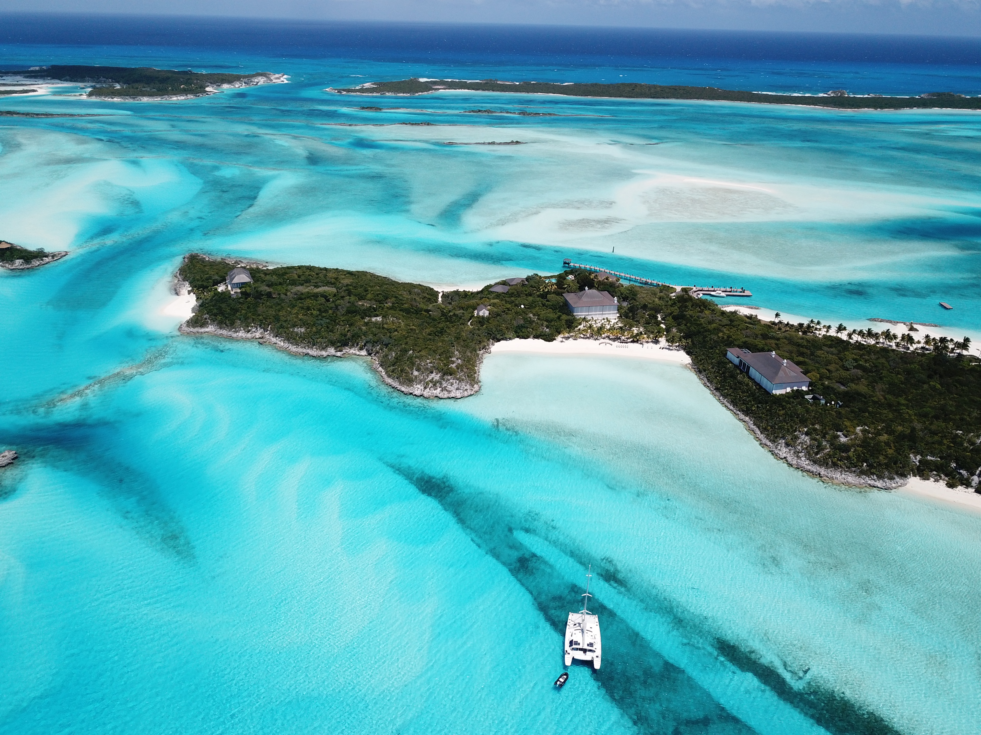
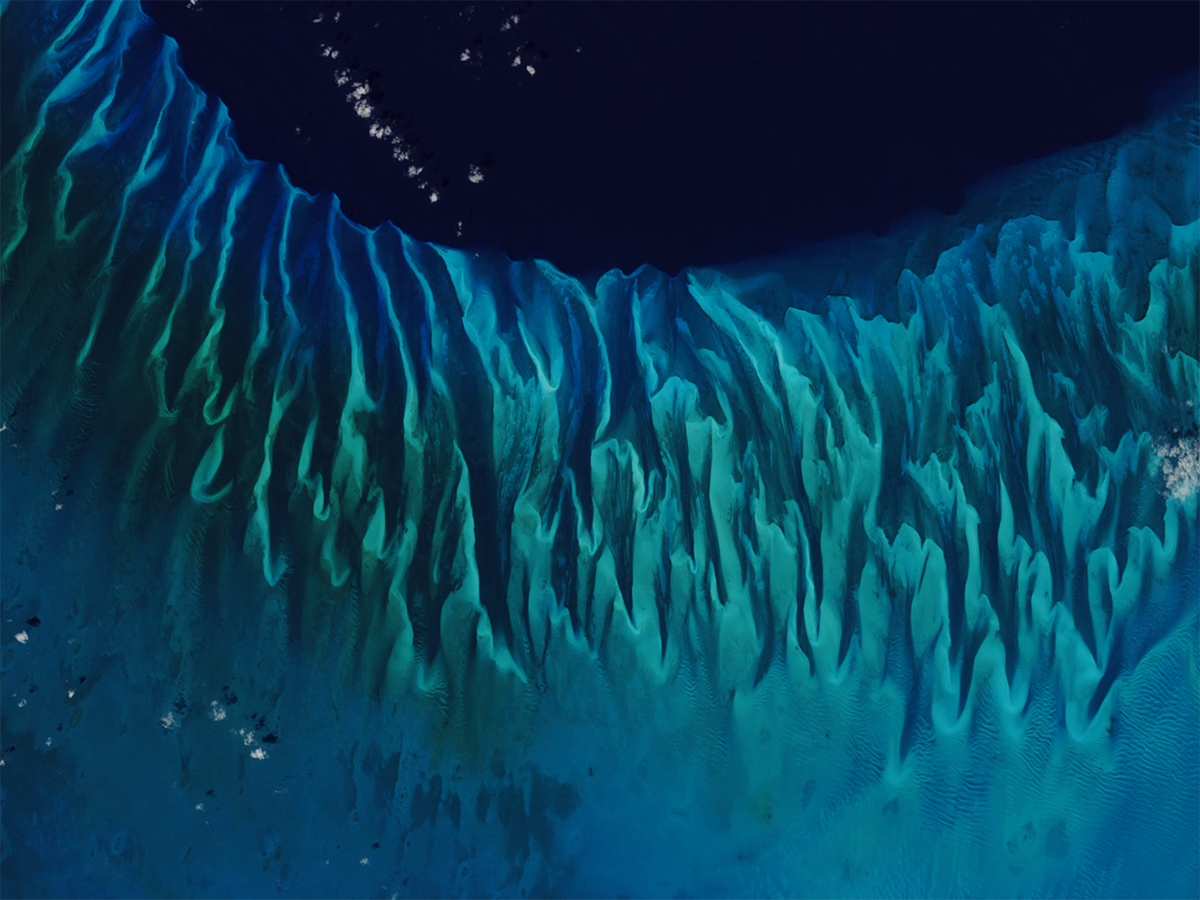
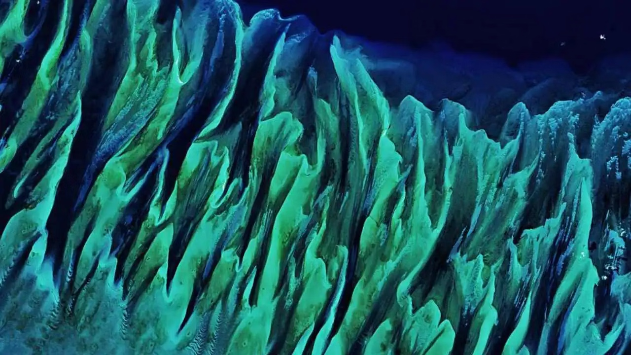
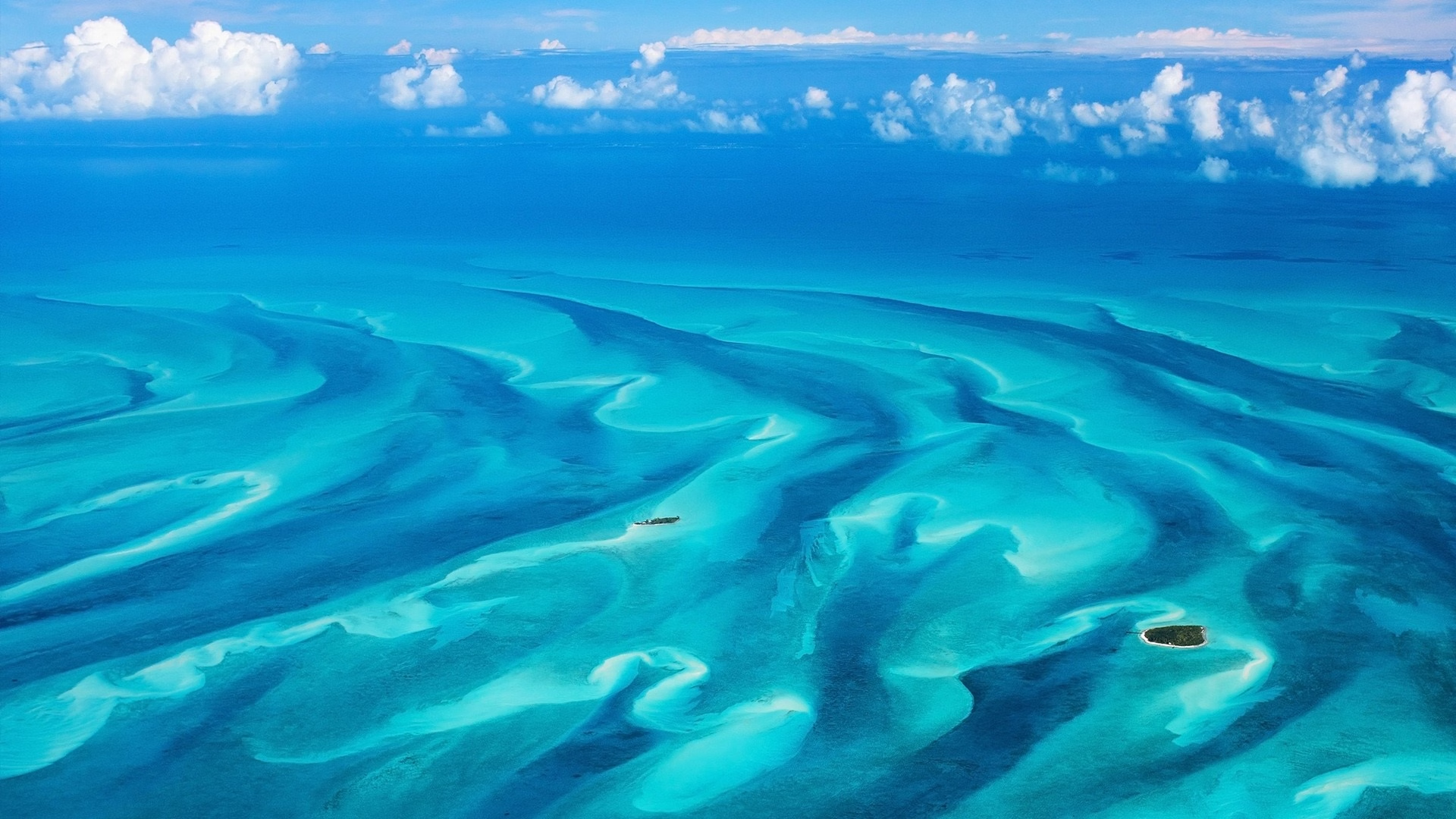
What NASA astronauts photograph from orbit, tidal currents sculpt the carbonate sand of the bank into vast fluted dune fields, the same forms wind makes in the Sahara, and in 3m of clear water the ripples run to the horizon in every direction. Sailing across it, the boat appears to fly over a painted seabed. The bank is a 330-mile crescent of carbonate platform built over millions of years by marine organisms, one of the largest such structures on earth. The dunes migrate constantly with the tide, which is why charts of the bank have never been fully reliable and why sailors have feared it for five centuries. Anchorage: Not an anchorage, a crossing. Shoal-draught vessels only, and only in settled weather with good visibility. Hazards: Poorly charted shoal water across an enormous area, with strong tidal sets and no services. Cross in daylight with good light and a bow watch.