Yonaguni Monument
DuikenGeen vergunningGeen meerboeien
Verzonken steden · Ook goed om te ankeren
- Beste tijd
- Year–round
- Watertemp.
- 22–28 °C
- Duikdiepte
- 5–26 m
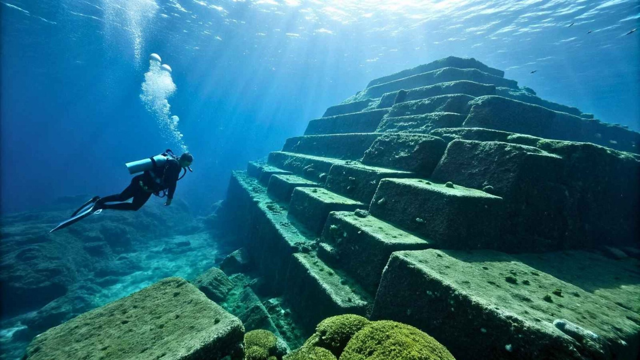
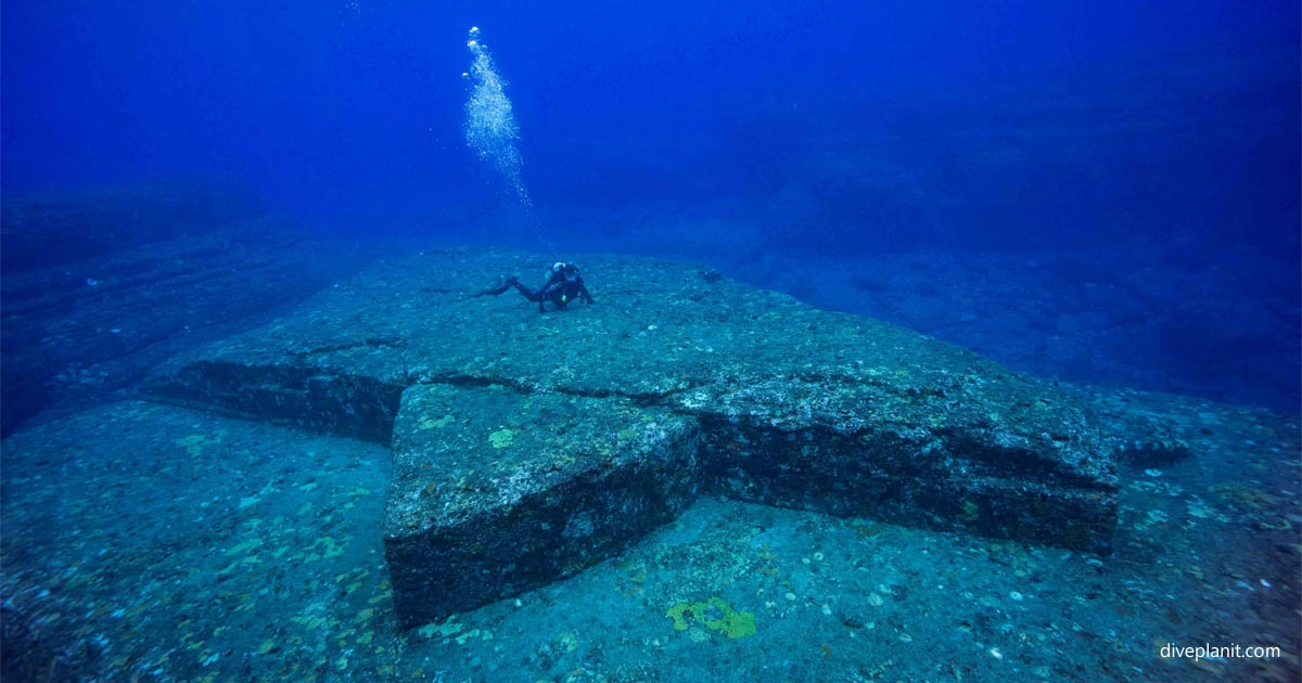
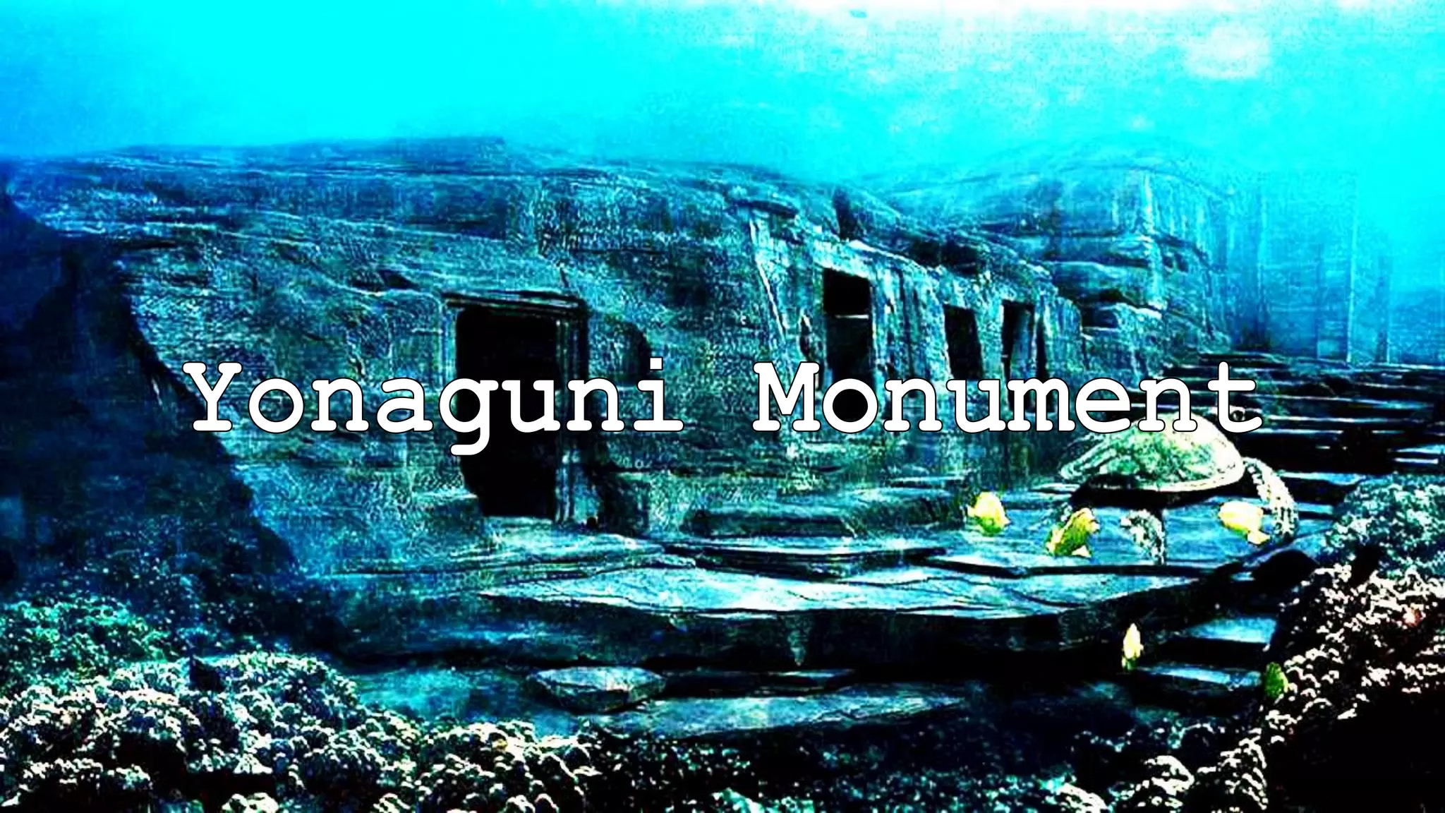
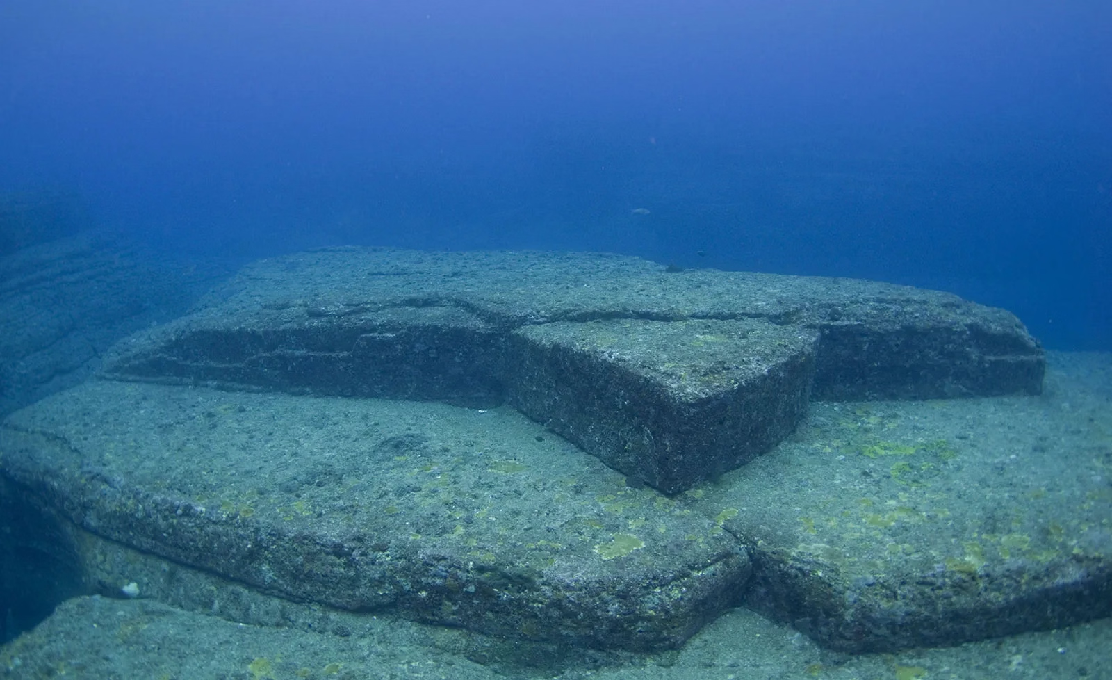
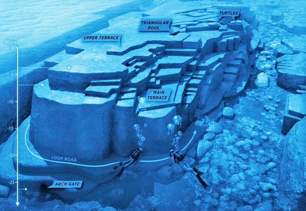
Massive terraced sandstone steps, right angles, flat platforms and what look like carved channels and a 'staircase', 25m below the surface. Whether it is a natural formation or a 10,000-year-old built structure is genuinely unresolved among geologists and archaeologists. In winter, schools of hammerheads pass over it. Found by a local dive operator in 1986. Marine geologist Masaaki Kimura argues it is a man-made city from before the last ice age, which would make it older than any known civilisation; geologists counter that the local sandstone fractures naturally along these planes. Both sides have credible arguments, you can present it as the ocean's great open question. Anchorage: Yonaguni's harbours (Kubura, Sonai); very exposed island with fierce currents, serious pilotage. Hazards: No site-specific hazards noted, brief normally.