Carlisle Bay
SnorkelingNo permitMooring buoys
Wrecks · Also good for diving & anchoring
- Best time
- Dec–Jul
- Water temp.
- 26–29 °C
- Marine life
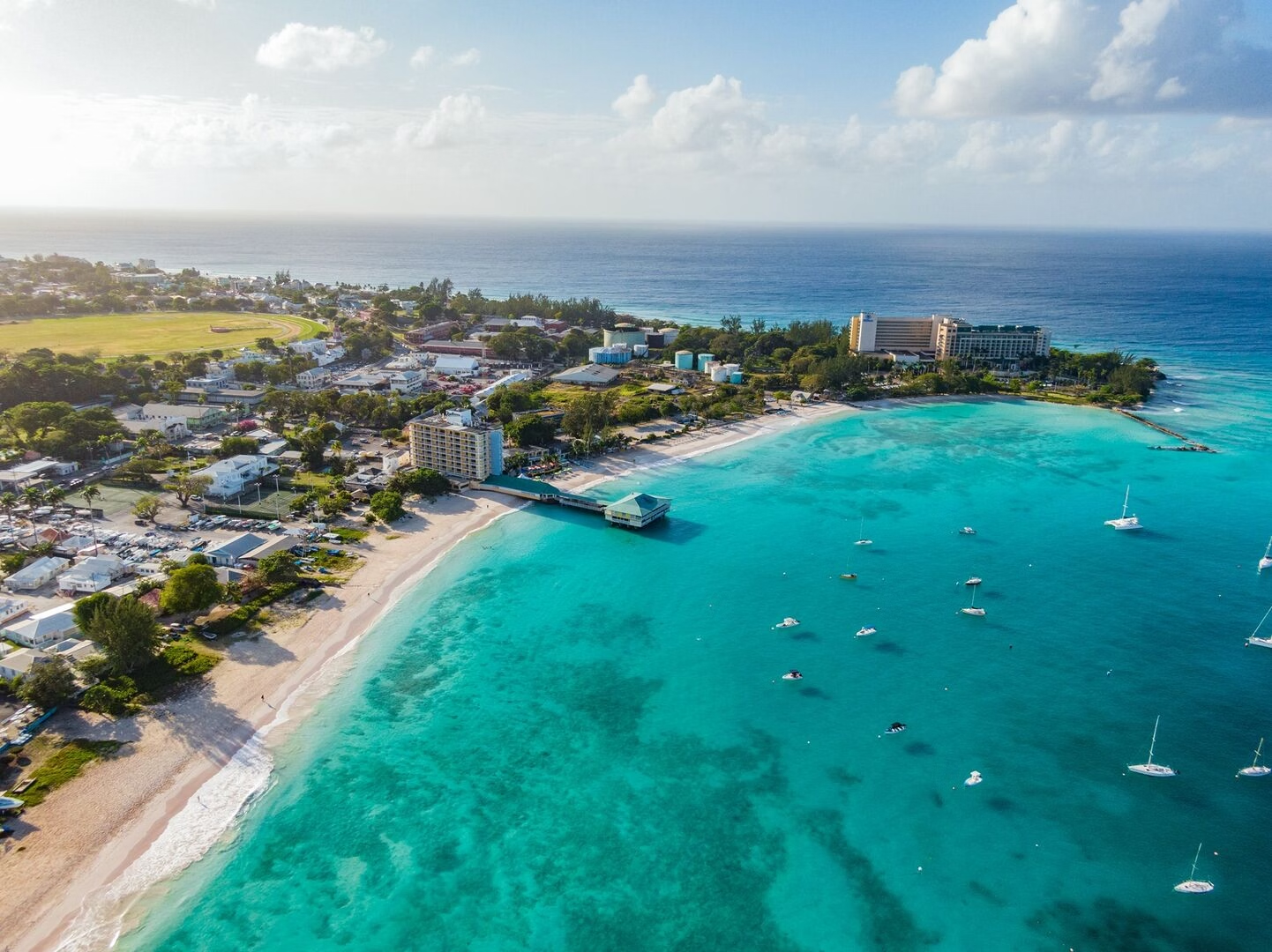
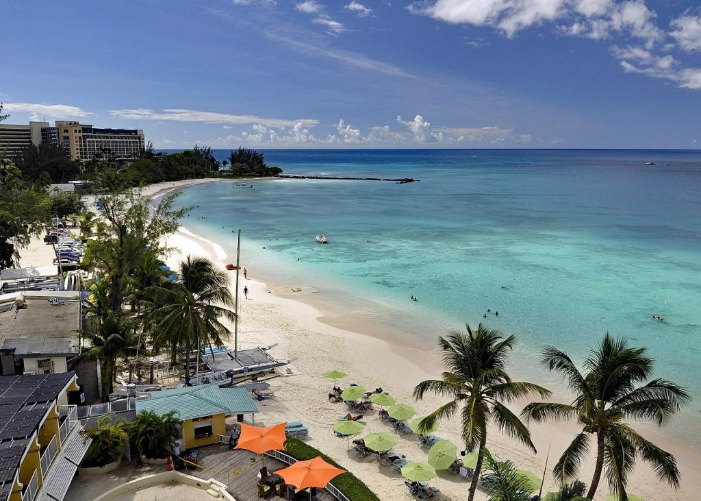
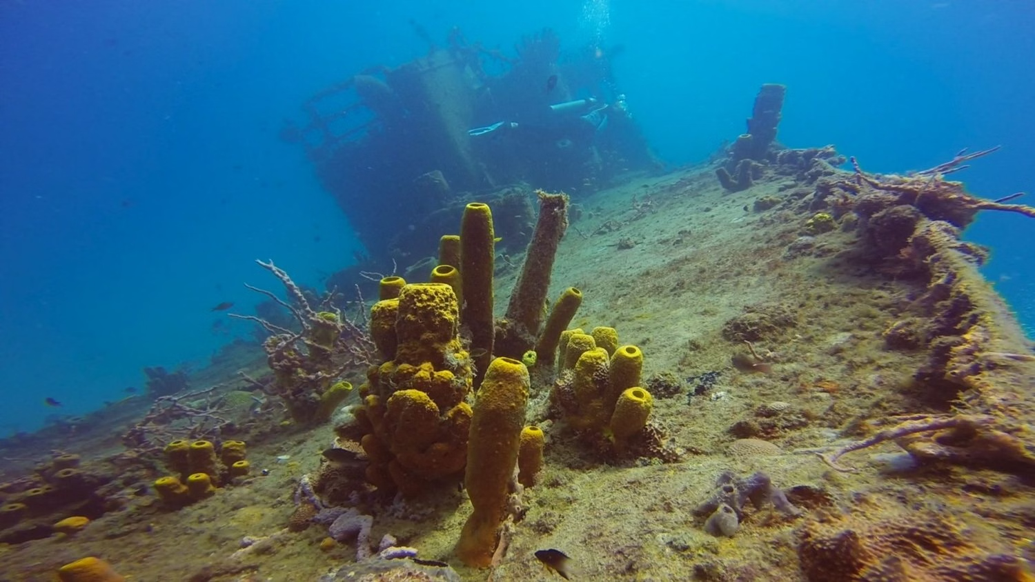
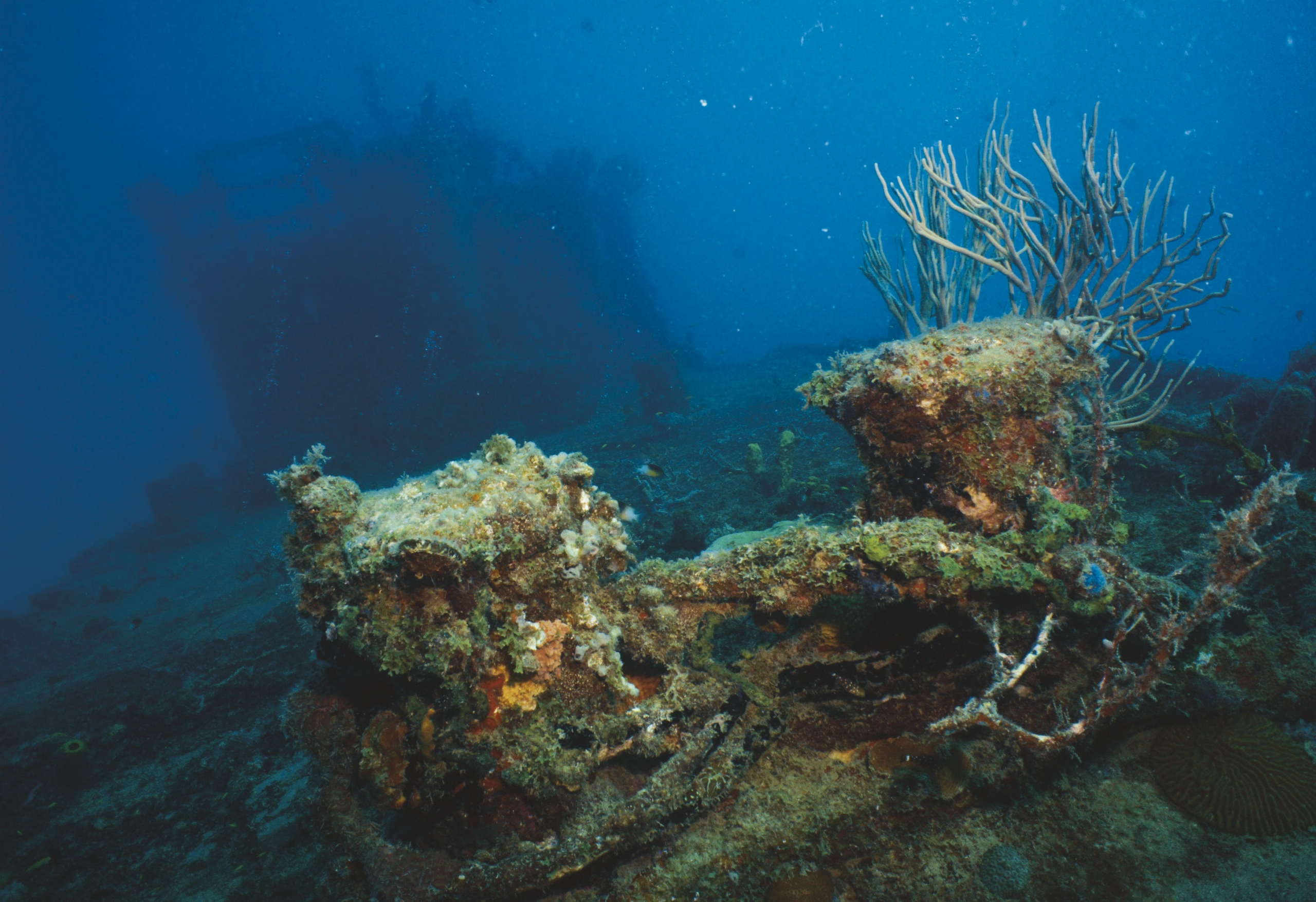
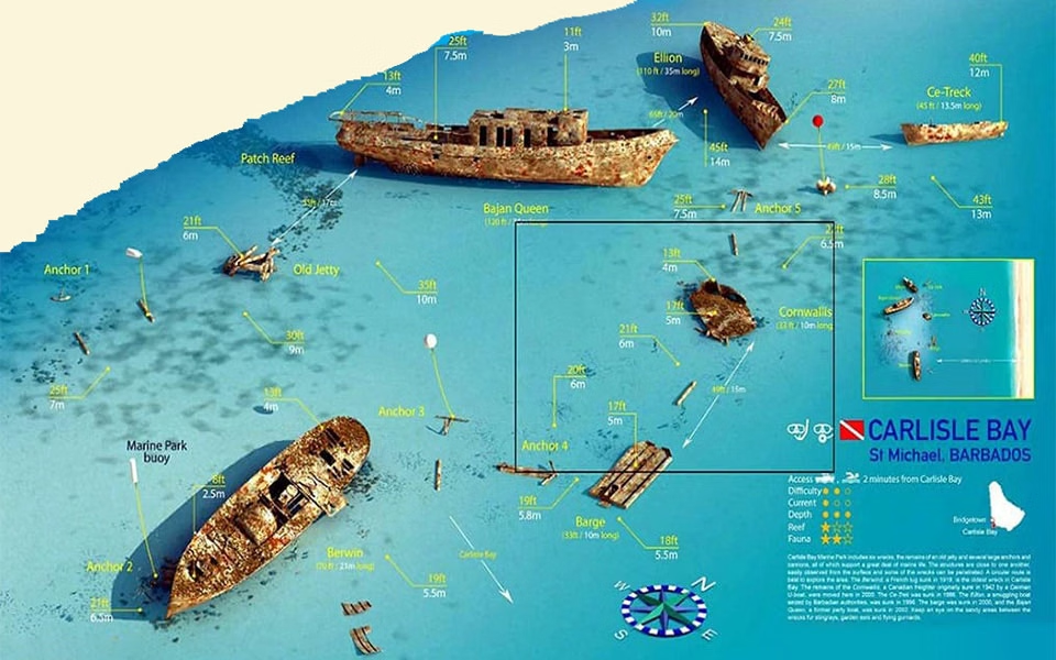
Six wrecks in one bay, the Berwyn, the Bajan Queen, the Eillon and others, sunk or scuttled over a century and now a marine park, with turtles that come to the boats, in water shallow enough that snorkellers see most of it. Carlisle Bay was Bridgetown's harbour from the 1620s and the anchorage where sugar and enslaved people were landed; the seabed accumulated wrecks accordingly. Barbados lies 100 miles east of the island chain, which is why it was the first landfall for ships crossing from Africa and Europe. Anchorage: Anchor north of the Bandstand near the Boat Yard in 5-10m over sand, after clearance. Port St Charles on the north-west coast is the alternative entry, with 4-5m in the channel and 3-4m inside. Hazards: Do not anchor in Carlisle Bay before clearing in. Barbados sits alone to windward of the arc, so the passage there is a beat and the anchorage is swell-prone.