Thor's Well & Cape Perpetua
SunsetsNo permitNo mooring buoys
- View type
- Best time
- Sunset, straight into the spray
- Anchorage
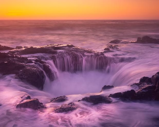
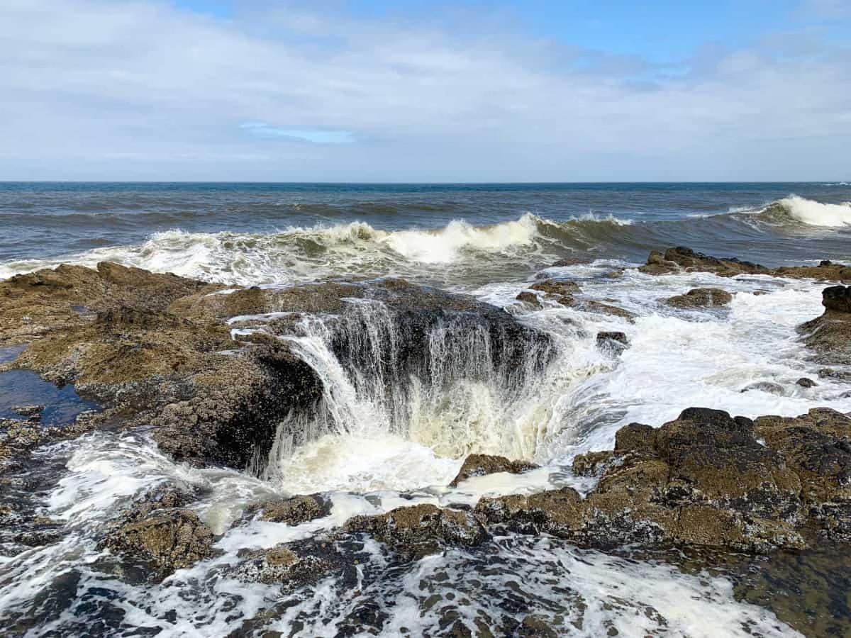
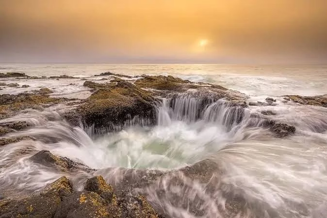
A collapsed sea cave in the basalt that fills and drains with every swell, so it looks like a hole draining the ocean, with Spouting Horn and the Devil's Churn along the same shelf and old-growth forest running down to the shore behind it. Named by Captain Cook, who sighted the cape in 1778 on St Perpetua's day. The basalt is old lava flows; the well, the churn and the horn are all what the North Pacific has since made of them. Anchorage: No anchorage anywhere near. Florence or Newport are the harbours, and this is seen on passage, well off, or from the road. Hazards: From seaward this is a rock shelf to stay well off. Ashore, people have been swept off these rocks and killed; sneaker waves arrive without warning and the shelf is awash before you can get back.